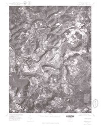
1977 Map of Confluence
USGS Topo · Published 1979About this map
The Confluence of several waterways dominates this 1977 orthophotograph, where the Youghiogheny River Lake meets the Casselman River and Laurel Run. The aerial perspective shows the distinct settlement patterns of the late 1970s, from the structured streets of Ursina to the smaller hamlets of Harnedsville and Dumas along the river valley. The landscape is defined by the sharp bends of the water and the elevation of Fort Hill, illustrating how the region's topography dictated the growth of these Pennsylvania communities.
Find a feature on this map
10 named features on this map. Tap any name to fly to it.
Don’t see what you’re looking for? This feature index may not catch every label — zoom into the map to look around manually.
Map Details
Editions of this 1977 Confluence Map
This is the sole edition of this map. No revisions or reprints were ever made.
Other maps of this area

1899 · Grantsville
USGS Topo · 1:62,500

1900 · Accident
USGS Topo · 1:62,500

1904 · Grantsville
USGS Topo · 1:62,500

1921 · Meyersdale
USGS Topo · 1:62,500

1922 · Confluence
USGS Topo · 1:62,500

1931 · Confluence
USGS Topo · 1:62,500

1933 · Confluence
USGS Topo · 1:62,500

1939 · Meyersdale
USGS Topo · 1:62,500

1944 · Meyersdale
USGS Topo · 1:62,500

1946 · Grantsville
USGS Topo · 1:24,000
Featured Places
- Confluence, PA
- Ursina, PA
- Addison Township, PA
- Upper Turkeyfoot Township, PA
- Draketown, Lower Turkeyfoot Township