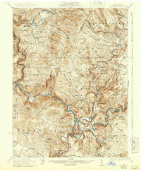
1933 Map of Confluence
USGS Topo · Published 1943About this map
Confluence serves as the focal point of this mapping, where the Casselman River and Laurel Run join the Youghiogheny River in a complex network of deep valleys and sharp river bends like Horseshoe Bend. The landscape is defined by the heavy presence of the Baltimore and Ohio Railroad and the Maryland and Ohio Railroad, which trace the narrow riverbanks to support local industry and transit. This era reveals a densely populated rural corridor before modern highway realignments, characterized by numerous local institutions such as Old Bethel Church, Hampton School, and the Mary Ann Mine.
Find a feature on this map
115 named features on this map. Tap any name to fly to it.
Don’t see what you’re looking for? This feature index may not catch every label — zoom into the map to look around manually.
Map Details
Editions of this 1933 Confluence Map
2 editions found

Other maps of this area

1899 · Grantsville
USGS Topo · 1:62,500

1900 · Accident
USGS Topo · 1:62,500

1900 · Uniontown
USGS Topo · 1:62,500

1902 · Connellsville
USGS Topo · 1:62,500

1904 · Bruceton
USGS Topo · 1:62,500

1904 · Grantsville
USGS Topo · 1:62,500

1913 · Somerset
USGS Topo · 1:62,500

1915 · Somerset
USGS Topo · 1:62,500

1921 · Meyersdale
USGS Topo · 1:62,500

1922 · Confluence
USGS Topo · 1:62,500