Loading...
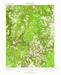
Loading map...1931 Map of Confluence
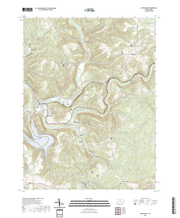
USGS Topo · Published 1963About this map
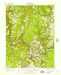
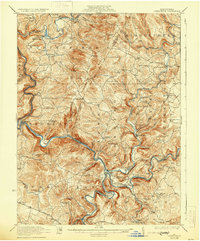
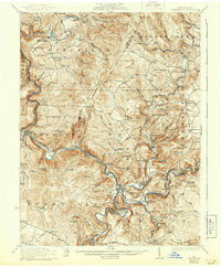
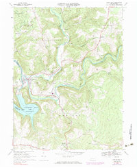
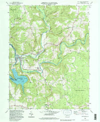
The Youghiogheny River and Casselman River dominate this 1931 survey, converging at the namesake town of Confluence. The landscape is a complex network of steep ridges and deep valleys, defined by the towering Laurel Hill and Boardman Ridge. This era shows the heavy reliance on the Baltimore and Ohio and Western Maryland railroads, which hug the riverbanks to navigate the terrain, passing through engineered feats like the Shoofy Tunnel and Benford Tunnel.
Find a feature on this map
119 named features on this map. Tap any name to fly to it.
Don’t see what you’re looking for? This feature index may not catch every label — zoom into the map to look around manually.
Map Details
Date Portrayed1931
Date Published1963
PublisherU.S. Geological Survey
Map TypeTopographic
Scale1:62,500
Physical Dimensions17 x 21 inches
Editions of this 1931 Confluence Map
2 editions found
Historical Maps of Confluence Through Time
7 maps found
Featured Locations
Source Details
SourceU.S. Geological Survey
CopyrightPublic Domain