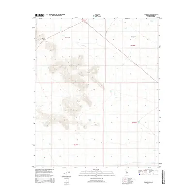
2014 Map of Congress SW
USGS Topo · Published 2014About this map
Merritt Pass serves as a key topographic waypoint in this arid landscape, where transportation routes and water management define the human imprint on the desert. Major regional thoroughfares Us-93 and Az-71 intersect in the northern portion of the quadrangle, while Moore Ranch RD provides access to more remote ranching country. The hydrological network is characterized by ephemeral drainages like Sols Wash and Martin Cr, which are supported by numerous man-made watering points essential for desert survival and livestock. These features, often named after families or local landmarks such as Gibson Tank, Knight Tank, and Mexican Joe Tank, reveal the history of land use and cattle ranching across the township boundaries. The contrast between the elevated terrain of the pass and the lower wash basins underscores the significance of these scattered water resources in the Arizona desert.
Find a feature on this map
20 named features on this map. Tap any name to fly to it.
Don’t see what you’re looking for? This feature index may not catch every label — zoom into the map to look around manually.
Map Details
Editions of this 2014 Congress SW Map
This is the sole edition of this map. No revisions or reprints were ever made.
Other maps of this area

1887 · Prescott
USGS Topo · 1:250,000

1892 · Prescott
USGS Topo · 1:250,000

1903 · Congress
USGS Topo · 1:125,000

1904 · Congress
USGS Topo · 1:125,000

1923 · Signal
USGS Topo · 1:250,000

1942 · Signal
USGS Topo · 1:250,000

1942 · Vicksburg
USGS Topo · 1:250,000

1950 · Prescott
USGS Topo · 1:250,000

1954 · Prescott
USGS Topo · 1:250,000

1954 · Phoenix
USGS Topo · 1:250,000