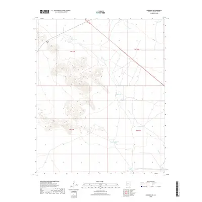
2018 Map of Congress SW
USGS Topo · Published 2018About this map
Merritt Pass stands as a primary topographical landmark in this arid portion of Yavapai County, where the landscape is defined by its seasonal water sources. The mapping of numerous tanks, such as Mexican Joe Tank, Knight Tank, and Big Pemberton Tank, indicates a region deeply tied to ranching and livestock management. These water catchment features are strategically distributed across the terrain to sustain operations in a dry environment where Sols Wash and Martin Cr provide only intermittent drainage. The presence of Stockyard Tank further emphasizes the agricultural utility of this area. The survey clearly delineates the township and range boundaries of t9n r7w, t9n r6w, t8n r7w, and t8n r6w, providing a structured look at the land division used for various rural claims and holdings in the early 21st century.
Find a feature on this map
15 named features on this map. Tap any name to fly to it.
Don’t see what you’re looking for? This feature index may not catch every label — zoom into the map to look around manually.
Map Details
Editions of this 2018 Congress SW Map
This is the sole edition of this map. No revisions or reprints were ever made.
Other maps of this area

1887 · Prescott
USGS Topo · 1:250,000

1892 · Prescott
USGS Topo · 1:250,000

1903 · Congress
USGS Topo · 1:125,000

1904 · Congress
USGS Topo · 1:125,000

1923 · Signal
USGS Topo · 1:250,000

1942 · Signal
USGS Topo · 1:250,000

1942 · Vicksburg
USGS Topo · 1:250,000

1950 · Prescott
USGS Topo · 1:250,000

1954 · Prescott
USGS Topo · 1:250,000

1954 · Phoenix
USGS Topo · 1:250,000