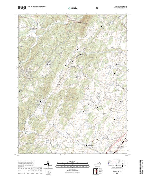
2022 Map of Conicville
USGS Topo · Published 2022About this map
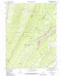
Conicville and the surrounding Shenandoah Valley landscape are defined by a rhythmic series of ridges including Supin Lick Ridge, Persimmon Ridge, and Jones Ridge. This 2022 survey captures the modern rural character of the area, where agricultural life is rooted in proximity to numerous family cemeteries and country churches. The southern edge of the map features the outskirts of Mount Jackson, including the Mount Jackson Colored Cemetery and Our Soldiers Cemetery, which reflect the region's complex social and military history. Small crossroads like Hudson Crossroads and Jerome serve as local hubs, while the northern terrain transitions into the George Washington National Forest. The network of watercourses, such as Crooked Run and Mill Creek, follows the valley floor, supporting the scattered farmsteads and legacy land tracts that remain identifiable in this modern topographic record.
Find a feature on this map
148 named features on this map. Tap any name to fly to it.
Don’t see what you’re looking for? This feature index may not catch every label — zoom into the map to look around manually.
Map Details
Editions of this 2022 Conicville Map
This is the sole edition of this map. No revisions or reprints were ever made.
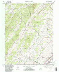
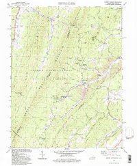
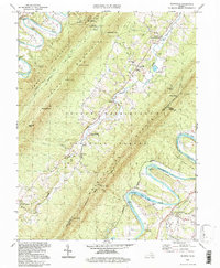
Historical Maps of Jerome Through Time
12 maps found
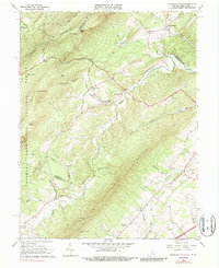
1965 Mountain Falls
Shenandoah County, VA
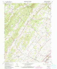
1966 Conicville
Shenandoah County, VA
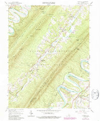
1966 Rileyville
Shenandoah County, VA
1967 Orkney Springs
Shenandoah County, VA
1994 Conicville
Shenandoah County, VA
1994 Orkney Springs
Shenandoah County, VA
1994 Rileyville
Shenandoah County, VA
1999 Mountain Falls
Shenandoah County, VA
2022 Conicville
Shenandoah County, VA
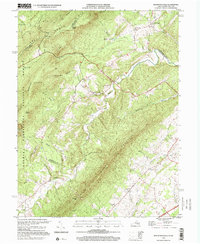
2022 Mountain Falls
Shenandoah County, VA
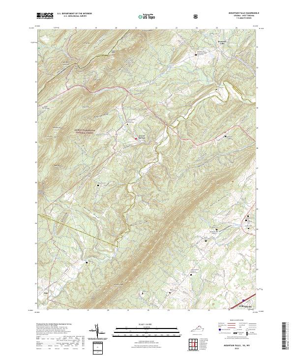
2022 Orkney Springs
Shenandoah County, VA
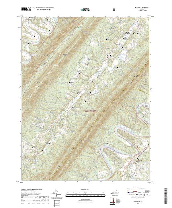
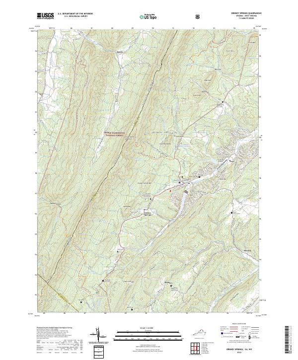
2022 Rileyville
Shenandoah County, VA