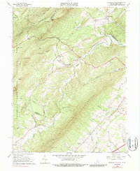
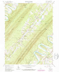
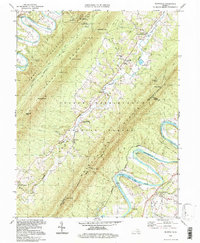
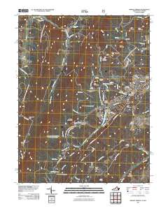
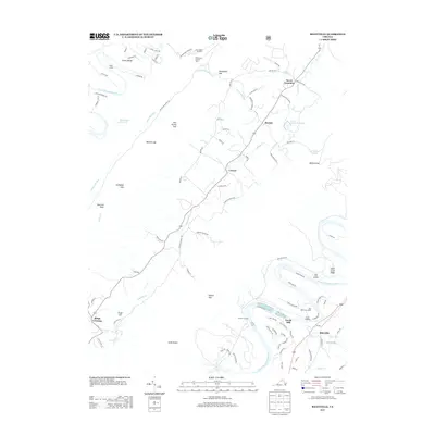
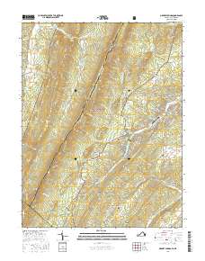
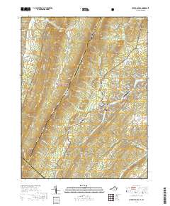
1965 Map of Mountain Falls
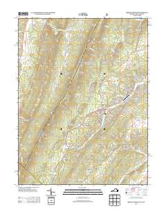
USGS Topo · Published 1987About this map
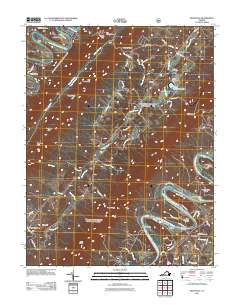
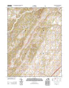
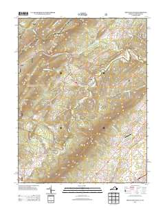
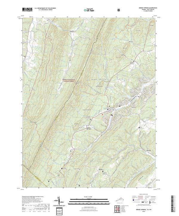
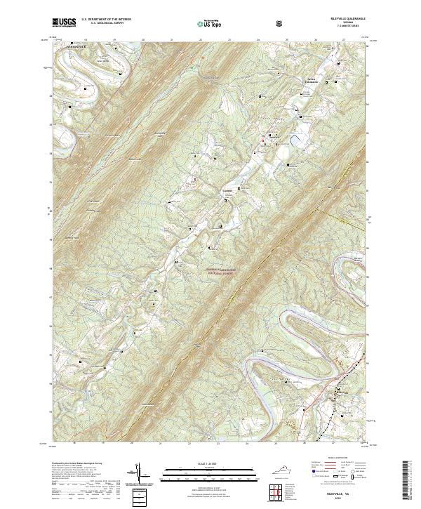
North Mountain and the surrounding ridges of the George Washington National Forest dominate this mid-1960s survey along the Virginia-West Virginia border. The landscape is defined by its deep hollows and narrow valleys, where small communities like Star Tannery and Mountain Falls are situated along the winding course of Cedar Creek. The terrain is marked by family-named landmarks and historical infrastructure, including the Iron Road and various Jeep Trail paths that navigate the gaps between Limestone Ridge and McIlwee Ridge.
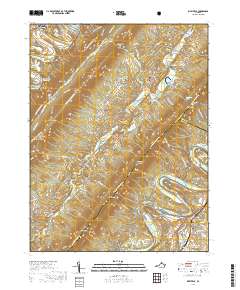
Find a feature on this map
59 named features on this map. Tap any name to fly to it.
Don’t see what you’re looking for? This feature index may not catch every label — zoom into the map to look around manually.
Map Details
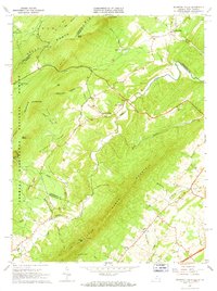
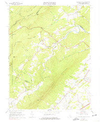
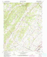
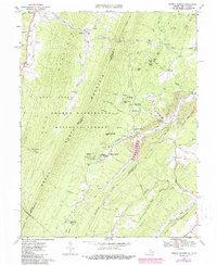
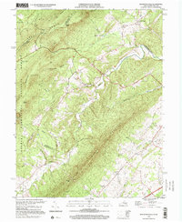
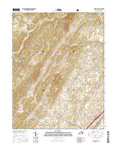
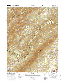
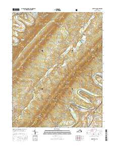
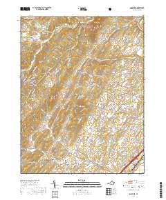
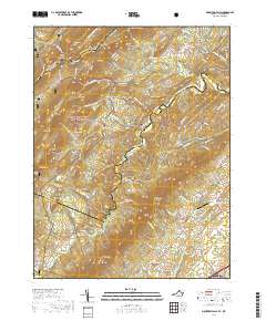
Editions of this 1965 Mountain Falls Map
3 editions found
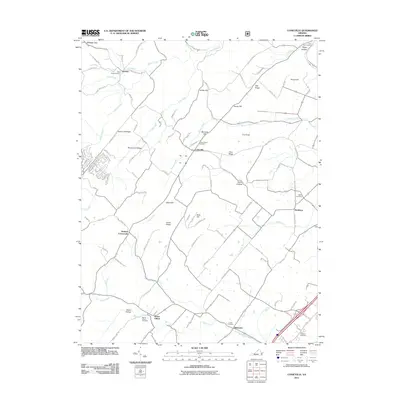
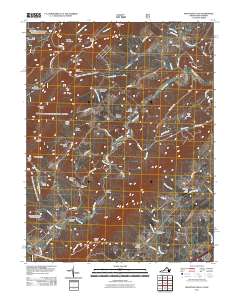
Historical Maps of Strasburg Through Time
28 maps found
1965 Mountain Falls
Shenandoah County, VA
1966 Conicville
Shenandoah County, VA
1966 Rileyville
Shenandoah County, VA
1967 Orkney Springs
Shenandoah County, VA
1994 Conicville
Shenandoah County, VA
1994 Orkney Springs
Shenandoah County, VA
1994 Rileyville
Shenandoah County, VA
1999 Mountain Falls
Shenandoah County, VA
2011 Conicville
Shenandoah County, VA
2011 Mountain Falls
Shenandoah County, VA
2011 Orkney Springs
Shenandoah County, VA
2011 Rileyville
Shenandoah County, VA
2013 Conicville
Shenandoah County, VA
2013 Mountain Falls
Shenandoah County, VA
2013 Orkney Springs
Shenandoah County, VA
2013 Rileyville
Shenandoah County, VA
2016 Conicville
Shenandoah County, VA
2016 Mountain Falls
Shenandoah County, VA
2016 Orkney Springs
Shenandoah County, VA
2016 Rileyville
Shenandoah County, VA
2019 Conicville
Shenandoah County, VA
2019 Mountain Falls
Shenandoah County, VA
2019 Orkney Springs
Shenandoah County, VA
2019 Rileyville
Shenandoah County, VA
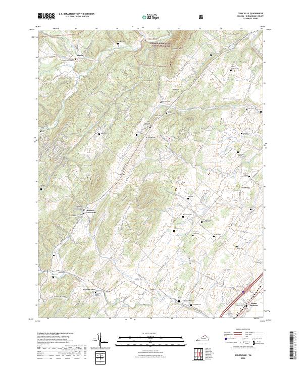
2022 Conicville
Shenandoah County, VA
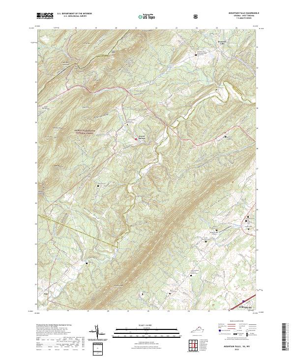
2022 Mountain Falls
Shenandoah County, VA
2022 Orkney Springs
Shenandoah County, VA
2022 Rileyville
Shenandoah County, VA