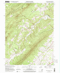
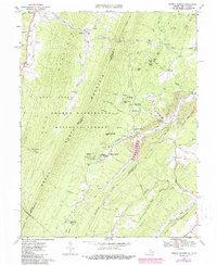
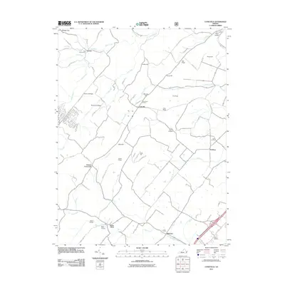
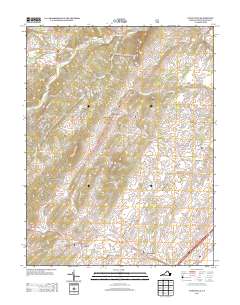
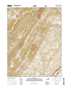
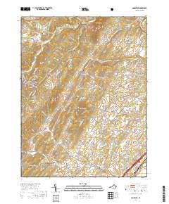
1999 Map of Mountain Falls
USGS Topo · Published 2001About this map
North Mountain and the Great North Mountain ridgelines dominate this borderland where Frederick County meets Shenandoah County and West Virginia. The terrain is defined by steep ridges like Limestone Ridge and McTweed Ridge, which channel drainage into the winding Cedar Creek and its many tributaries. Settlement patterns follow the narrow valleys, with the community of Star Tannery and the historic Gravel Springs area serving as focal points for local life. Numerous country churches and their associated grounds, such as St Stephens Ch and Mountain View Cem, are scattered along the rural routes, indicating a long-established community structure. The presence of the George Washington National Forest and Paddy Mountain highlights the heavily forested and undeveloped nature of the western slopes, while a Quarry near the base of the mountains points to the local extraction of geological resources.
Find a feature on this map
54 named features on this map. Tap any name to fly to it.
Don’t see what you’re looking for? This feature index may not catch every label — zoom into the map to look around manually.
Map Details
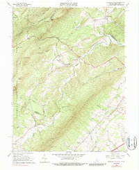
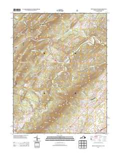
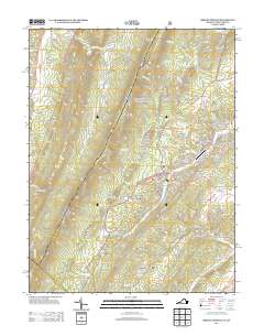
Editions of this 1999 Mountain Falls Map
This is the sole edition of this map. No revisions or reprints were ever made.
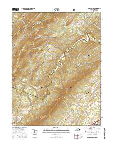
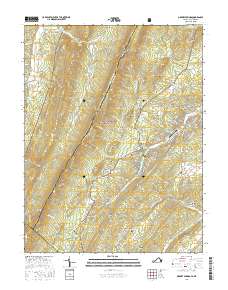
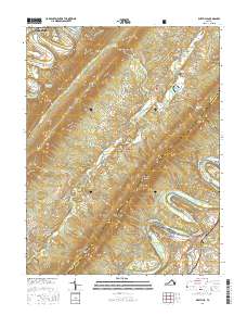
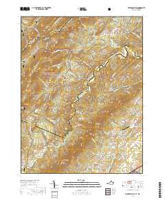
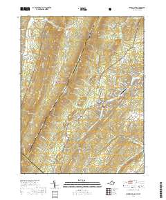
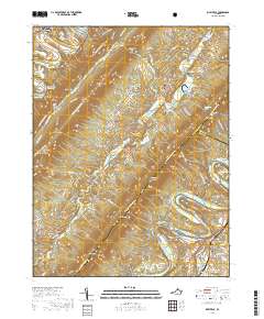
Historical Maps of Strasburg Through Time
28 maps found
1965 Mountain Falls
Shenandoah County, VA
1966 Conicville
Shenandoah County, VA
1966 Rileyville
Shenandoah County, VA
1967 Orkney Springs
Shenandoah County, VA
1994 Conicville
Shenandoah County, VA
1994 Orkney Springs
Shenandoah County, VA
1994 Rileyville
Shenandoah County, VA
1999 Mountain Falls
Shenandoah County, VA
2011 Conicville
Shenandoah County, VA
2011 Mountain Falls
Shenandoah County, VA
2011 Orkney Springs
Shenandoah County, VA
2011 Rileyville
Shenandoah County, VA
2013 Conicville
Shenandoah County, VA
2013 Mountain Falls
Shenandoah County, VA
2013 Orkney Springs
Shenandoah County, VA
2013 Rileyville
Shenandoah County, VA
2016 Conicville
Shenandoah County, VA
2016 Mountain Falls
Shenandoah County, VA
2016 Orkney Springs
Shenandoah County, VA
2016 Rileyville
Shenandoah County, VA
2019 Conicville
Shenandoah County, VA
2019 Mountain Falls
Shenandoah County, VA
2019 Orkney Springs
Shenandoah County, VA
2019 Rileyville
Shenandoah County, VA
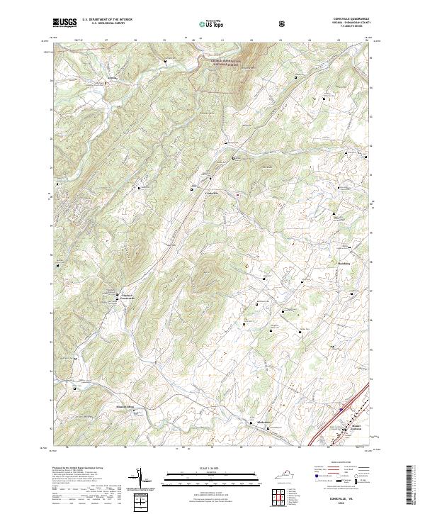
2022 Conicville
Shenandoah County, VA
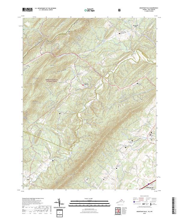
2022 Mountain Falls
Shenandoah County, VA
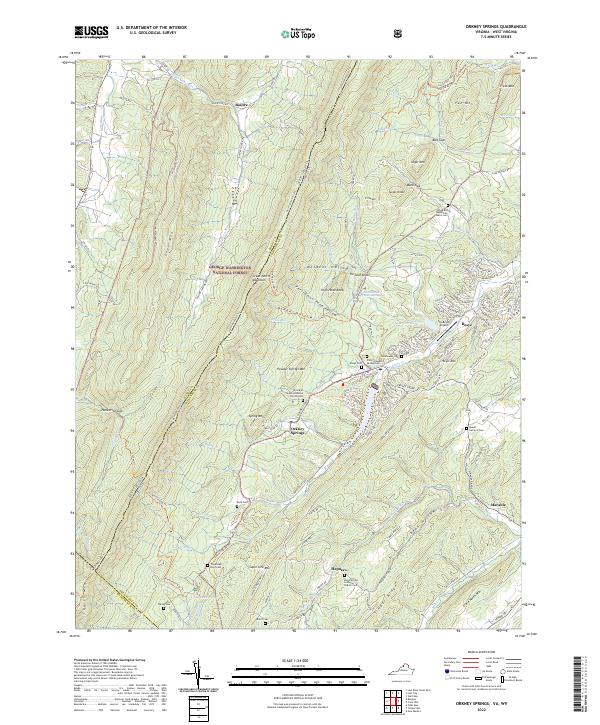
2022 Orkney Springs
Shenandoah County, VA
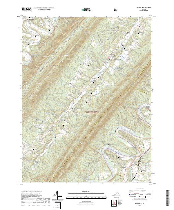
2022 Rileyville
Shenandoah County, VA