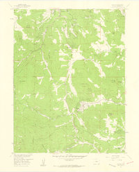
1957 Map of Conifer
USGS Topo · Published 1959About this map
Evergreen and the surrounding high-country settlements of Conifer and Aspen Park anchor this 1957 field-checked survey of Jefferson County. The landscape is defined by a series of prominent peaks and mesas, including Evergreen Mountain, Berrian Mountain, and Herzman Mesa, interspersed with numerous drainages like North Turkey Creek and South Turkey Creek. This period shows a community infrastructure built around local gatherings and education, evidenced by the Wild Rose Grange and the West Jefferson Sch.
Find a feature on this map
58 named features on this map. Tap any name to fly to it.
Don’t see what you’re looking for? This feature index may not catch every label — zoom into the map to look around manually.
Map Details
Editions of this 1957 Conifer Map
2 editions found
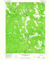
Other maps of this area

1893 · Platte Canyon
USGS Topo · 1:125,000

1899 · West Denver
USGS Topo · 1:125,000

1938 · Morrison
USGS Topo · 1:24,000

1942 · Morrison
USGS Topo · 1:31,680

1945 · Indian Hills
USGS Topo · 1:31,680

1945 · Platte Canyon
USGS Topo · 1:24,000

1945 · Pine
USGS Topo · 1:24,000

1945 · Bailey
USGS Topo · 1:24,000
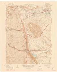
1947 · Morrison
USGS Topo · 1:31,680

1948 · Pine
USGS Topo · 1:24,000