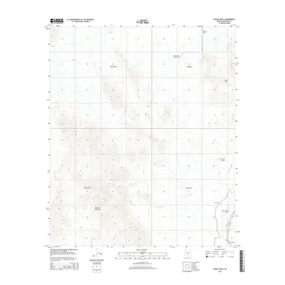
2014 Map of Conley Well
USGS Topo · Published 2014About this map
The Maricopa Mountains and Booth Hills dominate this arid landscape southwest of Phoenix, as documented in 2014. The topography is defined by the ephemeral Waterman Wash, which drains the valley floor between these prominent desert ranges. While largely undeveloped, the area reveals a unique pattern of remote private aviation, featuring several small airfields including the Flying Bucket Ranch Airport, Motown Airport, and Walter Ranch Airport. The central landmark of Conley Well serves as a vital point of reference in this sparsely populated region, while road access is limited to a handful of routes like S 99th Ave and S Verde Rd. This map captures a specific intersection of public land and private ranching interests before potential suburban expansion altered the character of the desert floor.
Find a feature on this map
15 named features on this map. Tap any name to fly to it.
Don’t see what you’re looking for? This feature index may not catch every label — zoom into the map to look around manually.
Map Details
Editions of this 2014 Conley Well Map
This is the sole edition of this map. No revisions or reprints were ever made.
Other maps of this area

1913 · Maricopa
USGS Topo · 1:62,500

1915 · Maricopa
USGS Topo · 1:62,500

1946 · Antelope Peak
USGS Topo · 1:62,500

1948 · Antelope Peak
USGS Topo · 1:62,500

1951 · Estrella
USGS Topo · 1:62,500

1951 · Mobile
USGS Topo · 1:62,500

1952 · Enid
USGS Topo · 1:24,000
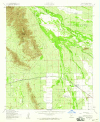
1952 · Maricopa
USGS Topo · 1:62,500

1953 · Ajo
USGS Topo · 1:250,000

1954 · Phoenix
USGS Topo · 1:250,000