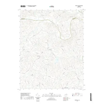
2019 Map of Conner Lake
USGS Topo · Published 2019About this map
Providence and Crossroads anchor this rural landscape in Halifax County, where the terrain is deeply etched by a network of waterways feeding the Roanoke River. The river forms the northern boundary against Charlotte County, joined by the waters of Cub Creek and Turnip Creek. The interior is defined by several family and community landmarks, particularly the many burial grounds such as Mount Pleasant Cemetery and Ellis Creek Cemetery that reflect generations of local settlement.
Find a feature on this map
55 named features on this map. Tap any name to fly to it.
Don’t see what you’re looking for? This feature index may not catch every label — zoom into the map to look around manually.
Map Details
Editions of this 2019 Conner Lake Map
This is the sole edition of this map. No revisions or reprints were ever made.
Other maps of this area

1892 · Appomattox
USGS Topo · 1:125,000

1947 · Roanoke
USGS Topo · 1:250,000

1953 · Greensboro
USGS Topo · 1:250,000

1954 · Greensboro
USGS Topo · 1:250,000

1954 · Clover
USGS Topo · 1:62,500

1954 · Halifax
USGS Topo · 1:62,500

1956 · Brookneal
USGS Topo · 1:62,500

1956 · Charlotte Court House
USGS Topo · 1:62,500

1959 · Roanoke
USGS Topo · 1:250,000

1962 · Greensboro
USGS Topo · 1:250,000