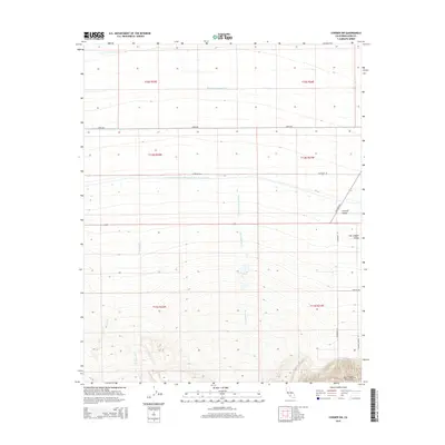
2015 Map of Conner SW
USGS Topo · Published 2015About this map
The San Emigdio Mountains rise sharply in the southern portion of this landscape, marking the rugged transition where the southern San Joaquin Valley meets the high country. This 2015 survey illustrates a highly engineered agricultural and water-management system, dominated by the massive Governor Edmund G Brown California Aqueduct and the Kern Ditch County Drain cutting horizontally across the terrain. These man-made water arteries support the Central Valley farming economy, which is further defined by a rigid grid of transit corridors including Copus Rd and Old River Rd. Natural drainage from the mountains, including San Emigdio Cr, Los Lobos Cr, and Muddy Cr, flows northward toward the basin, often channeled into the complex irrigation network that sustains the region's industrial-scale agriculture.
Find a feature on this map
21 named features on this map. Tap any name to fly to it.
Don’t see what you’re looking for? This feature index may not catch every label — zoom into the map to look around manually.
Map Details
Editions of this 2015 Conner SW Map
This is the sole edition of this map. No revisions or reprints were ever made.
Other maps of this area

1903 · Mt. Pinos
USGS Topo · 1:125,000

1910 · Buena Vista Lake
USGS Topo · 1:125,000

1912 · Buena Vista Lake
USGS Topo · 1:125,000

1929 · Mouth of Kern
USGS Topo · 1:31,680

1930 · Millux
USGS Topo · 1:31,680

1930 · Conner
USGS Topo · 1:31,680

1931 · Pentland Junction
USGS Topo · 1:31,680

1931 · Hayes Ranch
USGS Topo · 1:31,680

1932 · Mouth of Kern
USGS Topo · 1:31,680

1933 · Hayes Ranch
USGS Topo · 1:31,680