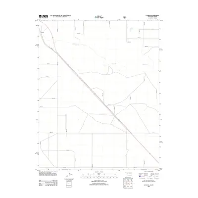
2012 Map of Conrad
USGS Topo · Published 2012About this map
Conrad anchors the northwest corner of this Cimarron County landscape, situated along the diagonal path of N0366 Rd. The region is defined by the winding course of the Beaver River, which snakes across the northern half of the quadrangle through an otherwise orderly grid of section roads. This survey captures a rural Oklahoma terrain dominated by agriculture and large-scale land divisions, where water sources like Ritner Lake provide rare breaks in the high plains topography. The extensive network of rural routes, including E0270 Rd and E0350 Rd, illustrates the persistent township and range settlement pattern that governs the Panhandle. Local history researchers can use the detailed road numbering and waterway locations to pinpoint specific family homesteads or agricultural tracts within this wide-open corridor.
Find a feature on this map
30 named features on this map. Tap any name to fly to it.
Don’t see what you’re looking for? This feature index may not catch every label — zoom into the map to look around manually.
Map Details
Editions of this 2012 Conrad Map
This is the sole edition of this map. No revisions or reprints were ever made.
Other maps of this area

1954 · Dalhart
USGS Topo · 1:250,000

1958 · Dalhart
USGS Topo · 1:250,000

1962 · Dalhart
USGS Topo · 1:250,000

1964 · Kerrick
USGS Topo · 1:24,000

1964 · Stratford 2 NE
USGS Topo · 1:24,000

1971 · Griggs SW
USGS Topo · 1:24,000

1971 · Sampsel Lake
USGS Topo · 1:24,000

1971 · Conrad NW
USGS Topo · 1:24,000

1971 · Griggs NW
USGS Topo · 1:24,000

1971 · Conrad SW
USGS Topo · 1:24,000