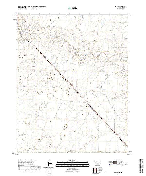
2022 Map of Conrad
USGS Topo · Published 2022About this map
The Beaver River meanders across this high plains landscape of Cimarron County, cutting through the undulating terrain of the Oklahoma Panhandle. The settlement of Conrad sits in the northwest, serving as a focal point for the section-line road network that defines the region's agricultural layout. Small water features like Ritner Lake punctuate the arid surroundings, illustrating the essential relationship between water sources and land use in this part of the state.
Find a feature on this map
22 named features on this map. Tap any name to fly to it.
Don’t see what you’re looking for? This feature index may not catch every label — zoom into the map to look around manually.
Map Details
Editions of this 2022 Conrad Map
This is the sole edition of this map. No revisions or reprints were ever made.
Other maps of this area

1954 · Dalhart
USGS Topo · 1:250,000

1958 · Dalhart
USGS Topo · 1:250,000

1962 · Dalhart
USGS Topo · 1:250,000

1964 · Kerrick
USGS Topo · 1:24,000

1964 · Stratford 2 NE
USGS Topo · 1:24,000

1971 · Griggs SW
USGS Topo · 1:24,000

1971 · Sampsel Lake
USGS Topo · 1:24,000

1971 · Conrad NW
USGS Topo · 1:24,000

1971 · Griggs NW
USGS Topo · 1:24,000

1971 · Conrad SW
USGS Topo · 1:24,000