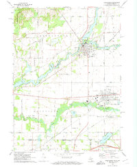
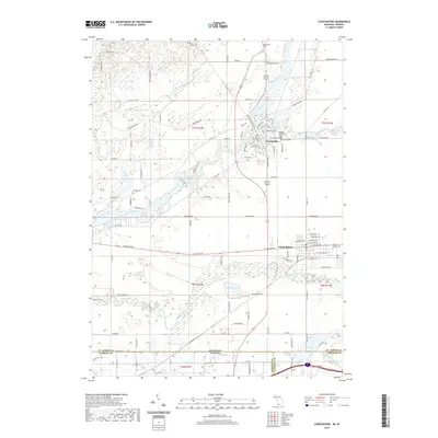
1972 Map of Constantine
USGS Topo · Published 1974About this map
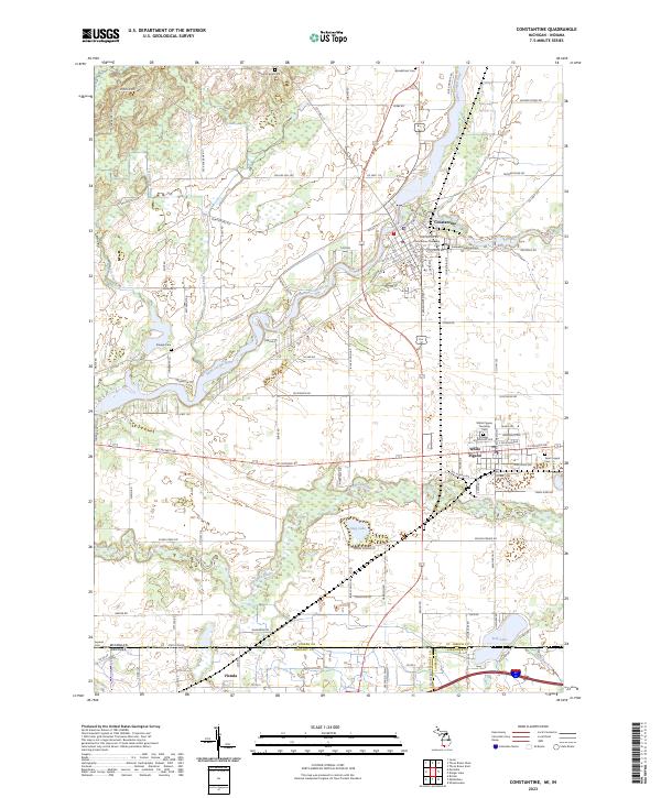
The St Joseph River and its major tributaries, the Pigeon River and Fawn River, define the hydrologic and economic landscape of this border region in the early 1970s. The village of Constantine serves as a local hub, featuring a Powerplant, Sewage Disposal facilities, and the Riverside Ch near the riverbanks. To the south, the village of White Pigeon sits along the Penn Central rail line, which also passes through the tiny community of Vistula near the Indiana state line. This survey captures a rural landscape where agriculture and industry meet, evidenced by numerous Gravel Pits and a Sandpit scattered across the township. Genealogists will find several burial grounds including Stengle Cem and Brick Chapel Cem, alongside landmarks like the Brick Chapel and High Sch. The map also documents the flat reaches of Youngs Prairie and Indian Prairie, highlighting the distinctive terrain that supported early settlement.
Find a feature on this map
60 named features on this map. Tap any name to fly to it.
Don’t see what you’re looking for? This feature index may not catch every label — zoom into the map to look around manually.
Map Details
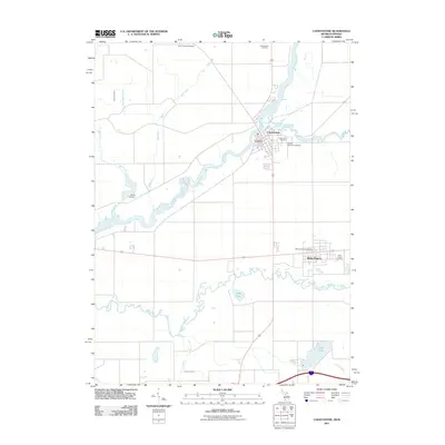
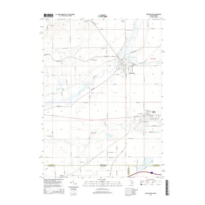
Editions of this 1972 Constantine Map
This is the sole edition of this map. No revisions or reprints were ever made.
Historical Maps of Constantine Through Time
6 maps found
Featured Locations
- Constantine Township, MI
- Florence Township, MI
- Mottville Township, MI
- Constantine, Constantine Township
- White Pigeon, White Pigeon Township