
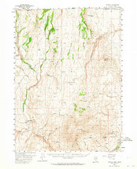
1957 Map of Contact
USGS Topo · Published 1960About this map
Salmon Falls Creek and its complex network of tributaries, including Shell Creek and the South Fork, dominate this high-desert landscape along the Nevada-Idaho border. The area is characterized by a mix of ranching operations and mining activity, with Browns Bench Ranch and Twin Meadows Ranch positioned near vital water sources. Mining infrastructure is concentrated in the southeast, where the Marshall Mine, several Shafts, and the Shatte Tunnels near L & D Mtn indicate a history of subsurface exploration.
Find a feature on this map
51 named features on this map. Tap any name to fly to it.
Don’t see what you’re looking for? This feature index may not catch every label — zoom into the map to look around manually.
Map Details
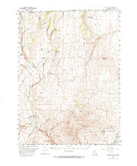
Editions of this 1957 Contact Map
3 editions found
Other maps of this area

1955 · Twin Falls
USGS Topo · 1:250,000

1955 · Wells
USGS Topo · 1:250,000

1957 · Delaplain
USGS Topo · 1:62,500

1957 · Elk Mountain
USGS Topo · 1:62,500

1958 · Wells
USGS Topo · 1:250,000

1958 · Twin Falls
USGS Topo · 1:250,000

1961 · Wells
USGS Topo · 1:250,000

1968 · Hubbard Basin
USGS Topo · 1:24,000

1968 · Henry
USGS Topo · 1:24,000

1968 · Blanchard Mtn
USGS Topo · 1:24,000