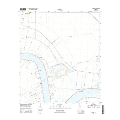
2015 Map of Convent
USGS Topo · Published 2015About this map
Mississippi River frontage defines the settlement patterns of St. James Parish, where historic land divisions extend from the riverbanks toward the interior swamps. This 2015 survey illustrates the dense string of riverside communities including Convent, Romeville, and Hymel. The landscape preserves markers of its alluvial history with labels like Nita Crevasse and Belmont Crevasse, indicating where the river once broke its banks. Genealogists can locate several key burial sites along the river road, such as Saint Michael Cem, Saint James Cem, and Celestin Cem. The transition from the active river corridor to the wilderness of the Blind River and Bayou des Acadiens to the east reflects the traditional Louisiana plantation and river-town economy, where industrial sites like Capline Tank Rd now sit alongside small settlements such as Free Town and Chatman Town.
Find a feature on this map
79 named features on this map. Tap any name to fly to it.
Don’t see what you’re looking for? This feature index may not catch every label — zoom into the map to look around manually.
Map Details
Editions of this 2015 Convent Map
This is the sole edition of this map. No revisions or reprints were ever made.
Other maps of this area

1892 · Lac Des Allemands
USGS Topo · 1:62,500

1892 · Mount Airy
USGS Topo · 1:62,500

1892 · Donaldsonville
USGS Topo · 1:62,500

1892 · Thibodaux
USGS Topo · 1:62,500

1927 · Thibodaux NW
USGS Topo · 1:31,680

1932 · Lac Des Allemands NW
USGS Topo · 1:31,680

1932 · Thibodaux NE
USGS Topo · 1:31,680

1935 · Gonzales
USGS Topo · 1:31,680

1939 · Donaldsonville
USGS Topo · 1:62,500

1940 · Lagan
USGS Topo · 1:31,680