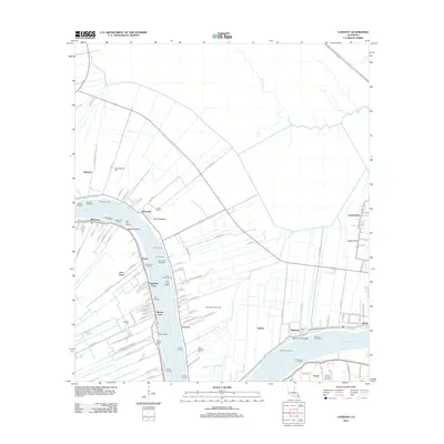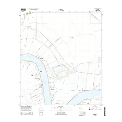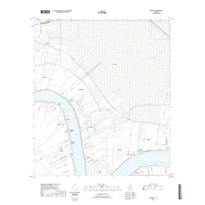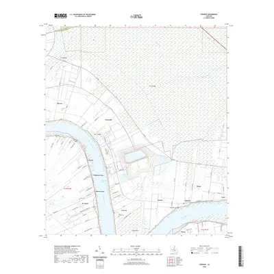
2024 Map of Convent
USGS Topo · Published 2024About this map
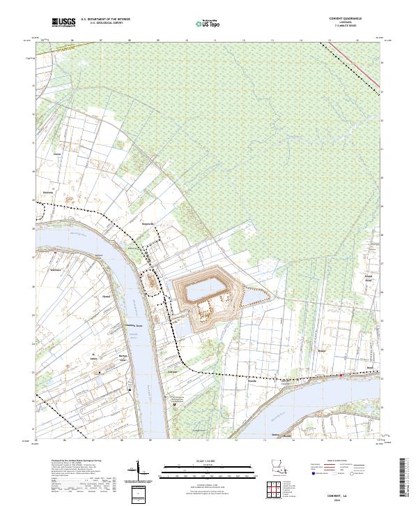
Saint Michael the Archangel Cem and Mausoleum stands as a landmark on the east bank of the river, anchoring the community of Convent. This stretch of the Mississippi River corridor is defined by its historic river road settlements and the legacy of periodic flooding, visible in features like the Nita Crevasse and Belmont Crevasse. The map documents a dense network of small communities including Romeville, Oneida, and Hester that grew along the fertile natural levees, while the interior is dominated by the Blind River swamp and the winding Bayou des Acadiens. Cultural sites are well-preserved in the landscape, with the Saint James Cem and Celestin Cem providing vital points of reference for local family history and genealogy. The layout of roads like La 44 and La 3125 reflects the transition from river-oriented commerce to modern transit corridors.
Find a feature on this map
78 named features on this map. Tap any name to fly to it.
Don’t see what you’re looking for? This feature index may not catch every label — zoom into the map to look around manually.
Map Details
Editions of this 2024 Convent Map
This is the sole edition of this map. No revisions or reprints were ever made.
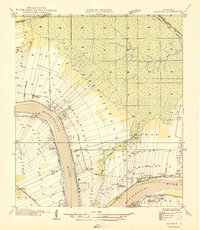
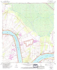
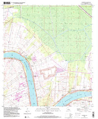
Historical Maps of Convent Through Time
8 maps found