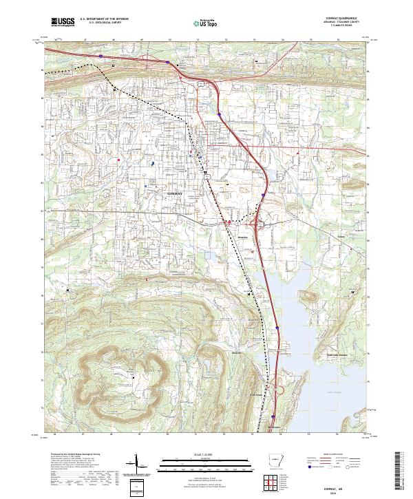
2024 Map of Conway
USGS Topo · Published 2024About this map
The growing city of Conway serves as a major educational and civic hub in Central Arkansas, centered around the campuses of Hendrix College, Central Baptist College, and the University of Central Arkansas. This modern survey illustrates a dense suburban grid transitioning into the natural landscape of the Cadron Ridge and Pisgah Mtn to the north. The southern extent is dominated by the expansive waters of Lake Conway, where residential developments like Gold Lake Estates and smaller settlements such as Gold Creek and Mayflower line the shore. For genealogists and local historians, several burial sites are documented across the landscape, including Saint Joseph Cem, Oak Grove Cem, and Stone Cem. The transport network is anchored by I-40 and Us HWY 65, which parallel the older routes of Ark 365, reflecting the area's continuous development from a rail-and-river economy to a modern regional center.
Find a feature on this map
46 named features on this map. Tap any name to fly to it.
Don’t see what you’re looking for? This feature index may not catch every label — zoom into the map to look around manually.
Map Details
Editions of this 2024 Conway Map
This is the sole edition of this map. No revisions or reprints were ever made.
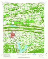
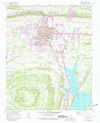
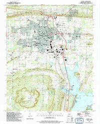
Historical Maps of Caney Through Time
5 maps found