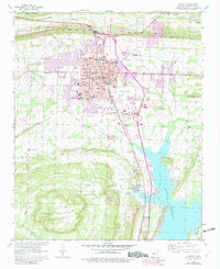
1961 Map of Conway
USGS Topo · Published 1982About this map
Conway serves as a regional educational and transportation hub in this early 1960s study, anchored by the campuses of Hendrix College, Central Baptist College, and the University of Central Arkansas. The city is defined by its position along the Missouri Pacific railroad, with urban development pressing against the slopes of Cadron Ridge to the north and Round Mountain to the south. The map documents a period of significant growth, with purple revisions from 1980 illustrating the expansion of the city limits toward the Conway Municipal Airport and the Fairground.
Find a feature on this map
54 named features on this map. Tap any name to fly to it.
Don’t see what you’re looking for? This feature index may not catch every label — zoom into the map to look around manually.
Map Details
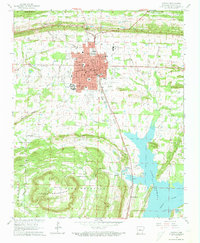
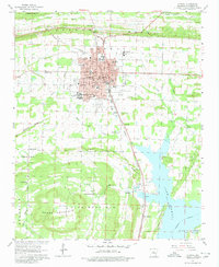
Editions of this 1961 Conway Map
4 editions found

Other maps of this area

1890 · Benton
USGS Topo · 1:125,000

1891 · Little Rock
USGS Topo · 1:125,000

1892 · Morrillton
USGS Topo · 1:125,000

1893 · Little Rock
USGS Topo · 1:125,000

1894 · Morrillton
USGS Topo · 1:125,000

1894 · Benton
USGS Topo · 1:125,000

1953 · Cato
USGS Topo · 1:24,000

1953 · Mayflower
USGS Topo · 1:24,000

1955 · Little Rock
USGS Topo · 1:250,000

1956 · Little Rock
USGS Topo · 1:250,000