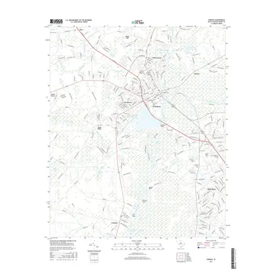
2017 Map of Conway
USGS Topo · Published 2017About this map
The Waccamaw River snakes through this Lowcountry landscape, defining the character of Conway and its surrounding wetlands. This 2017 survey illustrates a modern community deeply integrated with its riverine environment, where neighborhoods like Jamestown and North Conway sit adjacent to extensive drainage systems such as Crab Tree Swamp and Beaver Hole Swamp. The area's status as a regional educational and transportation hub is evidenced by the presence of Coastal Carolina University, Horry-Georgetown Technical College, and the Conway-Horry County Airport. Significant river features like Savannah Bluff and Pott Bluff mark the shifting elevation along the water's edge, while older settlements like Toddville and Grissett anchor the outlying areas. Local history and genealogy are preserved in sites such as Kingston Cemetery and Hillcrest Cemetery, which stand alongside modern infrastructure like the Conway Oxidation Ponds.
Find a feature on this map
58 named features on this map. Tap any name to fly to it.
Don’t see what you’re looking for? This feature index may not catch every label — zoom into the map to look around manually.
Map Details
Editions of this 2017 Conway Map
This is the sole edition of this map. No revisions or reprints were ever made.
Other maps of this area

1937 · Myrtle Beach
USGS Topo · 1:48,000

1937 · Nixonville
USGS Topo · 1:48,000

1940 · Myrtle Beach
USGS Topo · 1:62,500

1942 · Nixonville
USGS Topo · 1:62,500

1943 · Yauhannah
USGS Topo · 1:24,000

1943 · Bucksville
USGS Topo · 1:24,000

1943 · Dongola
USGS Topo · 1:24,000

1943 · Adrian
USGS Topo · 1:24,000

1943 · Horry
USGS Topo · 1:24,000

1943 · Conway
USGS Topo · 1:24,000