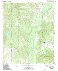
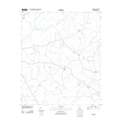
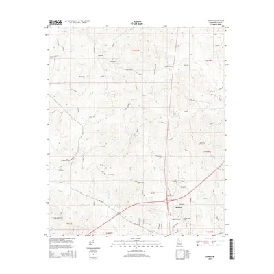
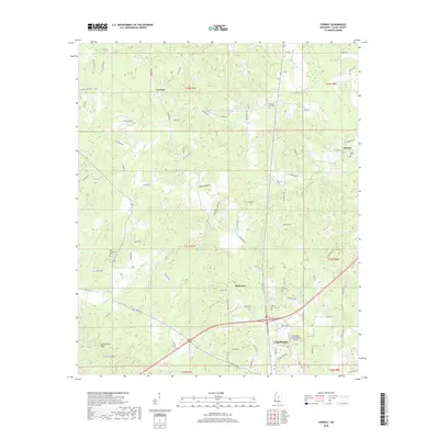
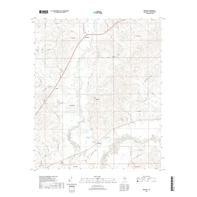
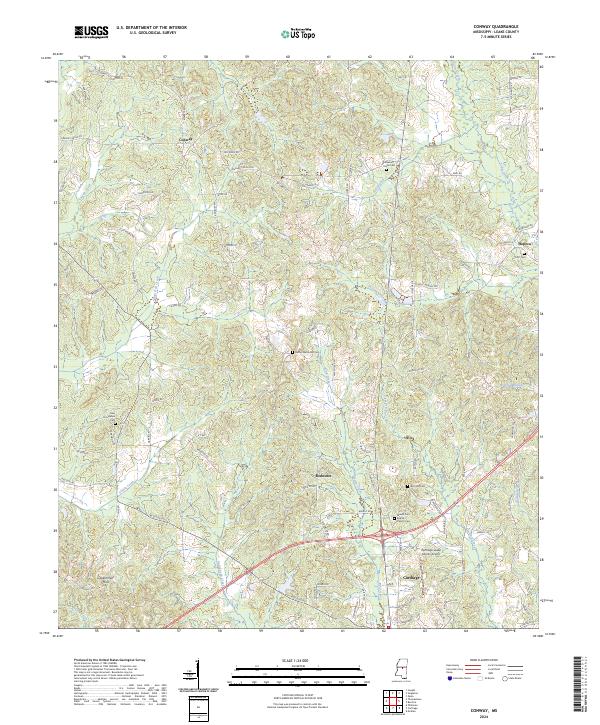
1989 Map of Conway
USGS Topo · Published 1989About this map
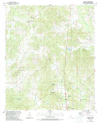
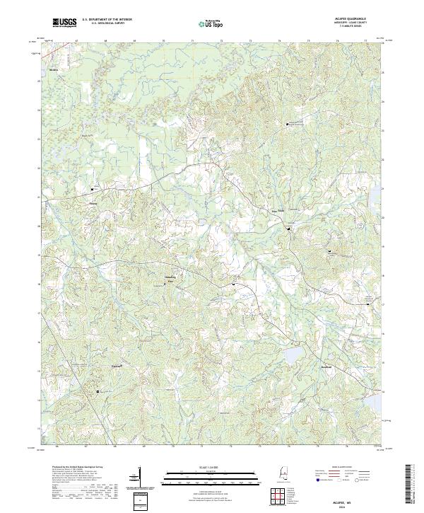
The Choctaw Indian Reservation occupies a significant portion of this landscape in central Mississippi, situated just north of the county seat of Carthage. The terrain is defined by the Government Hills and an intricate drainage system including Pellaphalia Creek, Shiola Creek, and Shoui Koli Creek. Small rural communities such as Conway and Redwater serve as focal points for local navigation, each anchored by traditional neighborhood landmarks like Center Hill Ch and Zion Hill Ch. The presence of the Leake County Airport south of the reservation lands indicates the area's mid-to-late 20th-century modernization, even as the rural character remains intact. Genealogists will find a wealth of specific identifiers, from the isolated Scott Cem in Hopoca to the numerous small churches like Bethel Ch and Solid Rock Ch that dot the wooded hillsides.
Find a feature on this map
32 named features on this map. Tap any name to fly to it.
Don’t see what you’re looking for? This feature index may not catch every label — zoom into the map to look around manually.
Map Details
Editions of this 1989 Conway Map
This is the sole edition of this map. No revisions or reprints were ever made.
Historical Maps of Carthage Through Time
32 maps found
1962 Edinburg
Leake County, MS
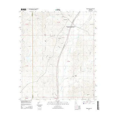
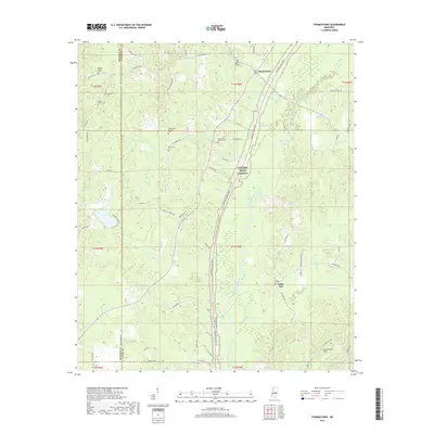
1962 Thomastown
Leake County, MS
1972 McAfee
Leake County, MS
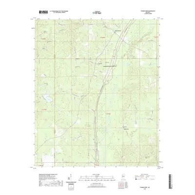
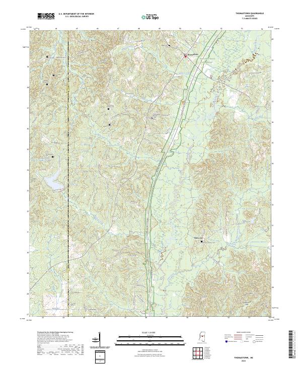
1988 Thomastown
Leake County, MS
1989 Conway
Leake County, MS
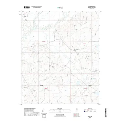
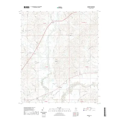
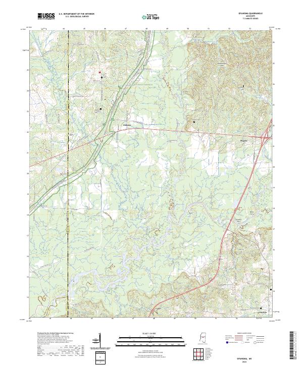
1989 Ofahoma
Leake County, MS
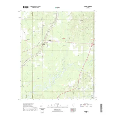
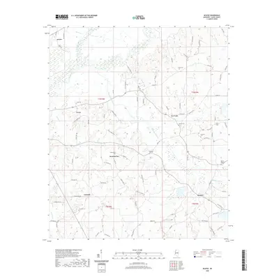
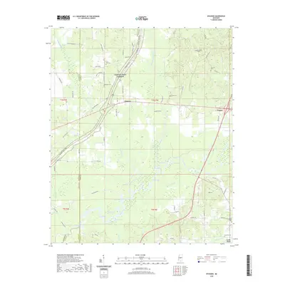
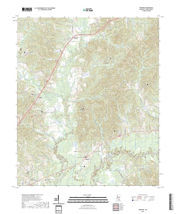
1989 Renfroe
Leake County, MS
2012 Conway
Leake County, MS
2012 McAfee
Leake County, MS
2012 Ofahoma
Leake County, MS
2012 Renfroe
Leake County, MS
2012 Thomastown
Leake County, MS
2015 Conway
Leake County, MS
2015 McAfee
Leake County, MS
2015 Ofahoma
Leake County, MS
2015 Renfroe
Leake County, MS
2015 Thomastown
Leake County, MS
2018 Conway
Leake County, MS
2018 McAfee
Leake County, MS
2018 Ofahoma
Leake County, MS
2018 Renfroe
Leake County, MS
2018 Thomastown
Leake County, MS
2020 Conway
Leake County, MS
2020 McAfee
Leake County, MS
2020 Ofahoma
Leake County, MS
2020 Renfroe
Leake County, MS
2020 Thomastown
Leake County, MS
2024 Conway
Leake County, MS
2024 McAfee
Leake County, MS
2024 Ofahoma
Leake County, MS
2024 Renfroe
Leake County, MS
2024 Thomastown
Leake County, MS