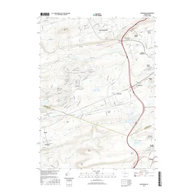
2016 Map of Conyngham
USGS Topo · Published 2016About this map
The borough of Conyngham and the neighboring hills of Luzerne and Schuylkill counties are meticulously documented in this 2016 survey. The terrain is defined by prominent elevations such as Sugarloaf Mtn and Buck Mtn in the north, while the southern portion of the quadrangle follows the Catawissa Cr and Spies Run drainages. This modern record illustrates the expansion of industrial and educational hubs, notably the Pennsylvania State University-Penn State Hazleton campus and the extensive Humboldt industrial area.
Find a feature on this map
57 named features on this map. Tap any name to fly to it.
Don’t see what you’re looking for? This feature index may not catch every label — zoom into the map to look around manually.
Map Details
Editions of this 2016 Conyngham Map
This is the sole edition of this map. No revisions or reprints were ever made.
Other maps of this area

1889 · Hazleton
USGS Topo · 1:62,500

1891 · Wilkesbarre
USGS Topo · 1:62,500

1891 · Hazleton
USGS Topo · 1:62,500

1892 · Mahanoy
USGS Topo · 1:62,500

1893 · Hazleton
USGS Topo · 1:62,500

1893 · Mahanoy
USGS Topo · 1:62,500

1894 · Shickshinny
USGS Topo · 1:62,500

1894 · Wilkesbarre
USGS Topo · 1:62,500

1943 · Scranton
USGS Topo · 1:125,000

1944 · Newark
USGS Topo · 1:250,000
Featured Places
- Conyngham, PA
- Sheppton, East Union Township
- Haddock, Kline Township
- Kelayres, Kline Township
- Green Ridge, Hazle Township