2022 Map of Cookeville East
USGS Topo · Published 2022About this map
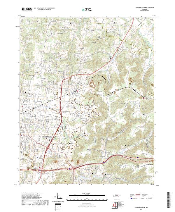
Cookeville serves as the focal point of this Putnam County landscape, where the urban street grid gives way to the rising elevations of the Highland Rim. The map details a transition from the commercial and residential corridors of Algood and eastern Cookeville into the narrow hollows and high ridges that define this portion of Tennessee. Family-named landmarks such as Verble Mtn and Jones Mtn rise above the agricultural valley floors, while the Falling Water River and Cleghorn Creek drain the upland terrain. Genealogists will find a high density of rural burial sites, including Lyles Cem, Robinson Cem, and Bohannon Cem, many situated along older transport routes like Old Hwy 42. The distribution of these features illustrates a classic Appalachian settlement pattern, with communities like Bangham and Jeremiah established near dependable water sources and mountain gaps.
Find a feature on this map
264 named features on this map. Tap any name to fly to it.
Don’t see what you’re looking for? This feature index may not catch every label — zoom into the map to look around manually.
Map Details
Editions of this 2022 Cookeville East Map
This is the sole edition of this map. No revisions or reprints were ever made.
Historical Maps of Mountain Meadows Through Time
9 maps found
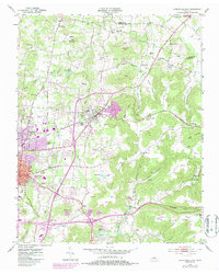
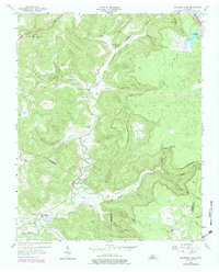
1953 Cookeville East
Putnam County, TN
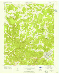
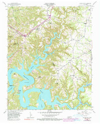
1953 Cookeville West
Putnam County, TN
1955 Monterey Lake
Putnam County, TN
1956 Monterey Lake
Putnam County, TN
1956 Silver Point
Putnam County, TN
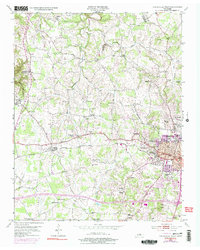
2022 Cookeville East
Putnam County, TN
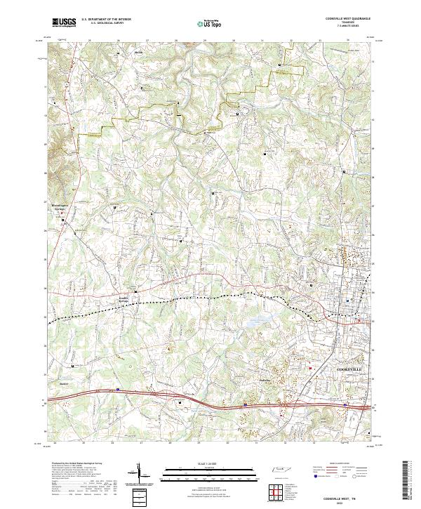
2022 Cookeville West
Putnam County, TN
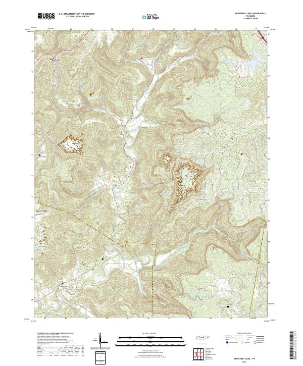
2022 Monterey Lake
Putnam County, TN
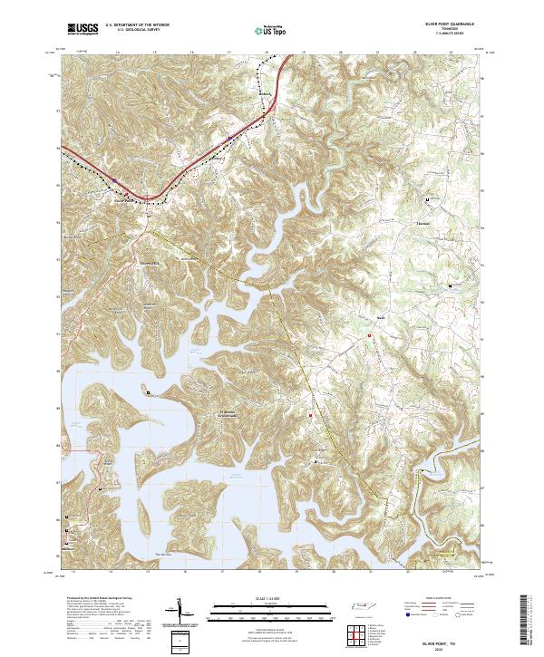
2022 Silver Point
Putnam County, TN