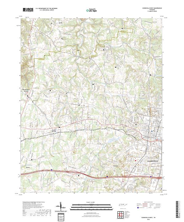
2022 Map of Cookeville West
USGS Topo · Published 2022About this map
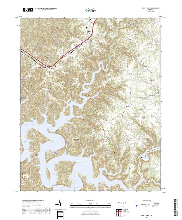
Cookeville and its western outskirts are the focus of this survey, which illustrates the transition from urban campus life to the rural cemetery-dotted landscape of the Jackson Co and Putnam Co border. The southeastern corner of the map is anchored by the Tennessee Technological University campus, showing the street grid as it extends toward the drainage of Cane Creek Lake. Beyond the city limits, the terrain is defined by a dense network of family and community burial grounds including Grogan Cem, Mayberry Cem, and Double Springs Cem, reflecting a long-settled agricultural heritage.
Find a feature on this map
284 named features on this map. Tap any name to fly to it.
Don’t see what you’re looking for? This feature index may not catch every label — zoom into the map to look around manually.
Map Details
Editions of this 2022 Cookeville West Map
This is the sole edition of this map. No revisions or reprints were ever made.
Historical Maps of Tara Estates Through Time
9 maps found
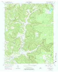
1953 Cookeville East
Putnam County, TN
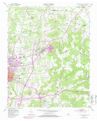
1953 Cookeville West
Putnam County, TN
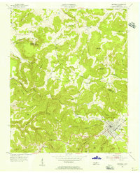
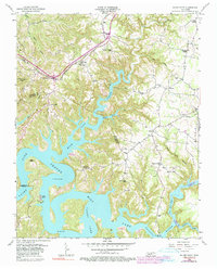
1955 Monterey Lake
Putnam County, TN
1956 Monterey Lake
Putnam County, TN
1956 Silver Point
Putnam County, TN
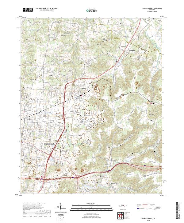
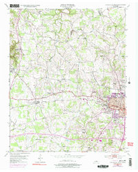
2022 Cookeville East
Putnam County, TN
2022 Cookeville West
Putnam County, TN
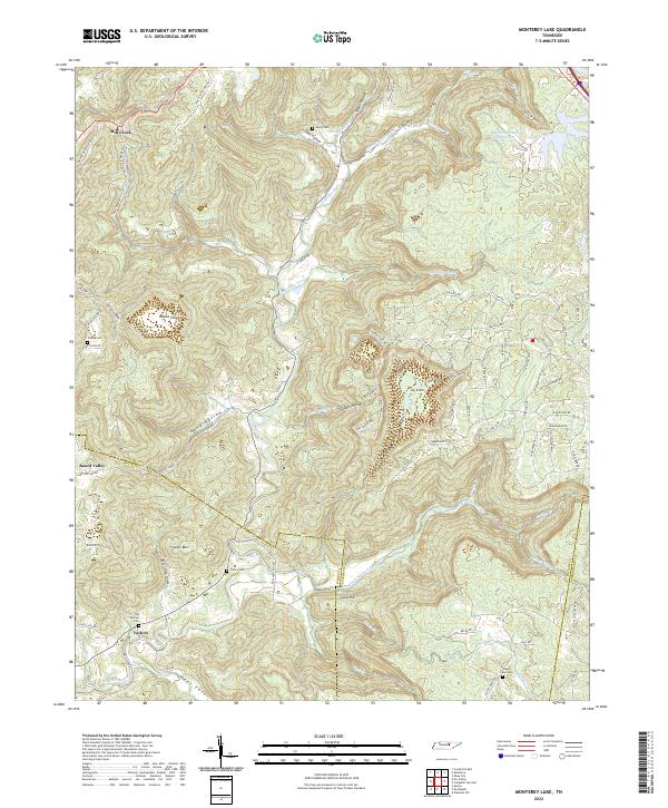
2022 Monterey Lake
Putnam County, TN
2022 Silver Point
Putnam County, TN