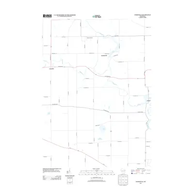
2013 Map of Cooksville
USGS Topo · Published 2013About this map
Cooksville and Stebbinsville anchor this rural landscape in Rock County, where the winding Yahara River dictates the local geography. The river flows southward toward Fulton, where it meets the Rock River and forms the Fulton Pond 553 reservoir. This area is defined by its agricultural character and water resources, featuring a series of glacial lakes including Gibbs Lake, Little Gibbs Lake, and Grass Lake.
Find a feature on this map
58 named features on this map. Tap any name to fly to it.
Don’t see what you’re looking for? This feature index may not catch every label — zoom into the map to look around manually.
Map Details
Editions of this 2013 Cooksville Map
This is the sole edition of this map. No revisions or reprints were ever made.
Other maps of this area

1889 · Evansville
USGS Topo · 1:62,500

1890 · Stoughton
USGS Topo · 1:62,500

1891 · Janesville
USGS Topo · 1:62,500

1893 · Janesville
USGS Topo · 1:62,500

1893 · Brodhead
USGS Topo · 1:62,500

1894 · Evansville
USGS Topo · 1:62,500

1906 · Evansville
USGS Topo · 1:62,500

1954 · Rockford
USGS Topo · 1:250,000

1955 · Rockford
USGS Topo · 1:250,000

1958 · Rockford
USGS Topo · 1:250,000