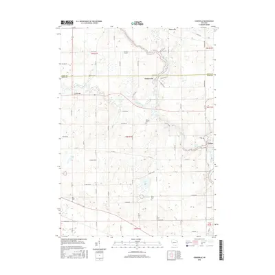
2016 Map of Cooksville
USGS Topo · Published 2016About this map
Badfish Creek and the Yahara River wind through this southern Wisconsin landscape, defining the character of the borderlands between Dane and Rock counties. The settlement of Cooksville stands as a focal point in the northwest, while the village of Fulton sits near the confluence of the Yahara and the Rock River in the southeast. This 2016 survey illustrates a largely agricultural region punctuated by quiet crossroads and historic community sites. Genealogists can identify several local burial grounds, including Saint Michaels Cem and the Ball Tavern Cem, which serve as physical links to the area's early families. The terrain is marked by a series of glacial lakes and wetlands, such as Gibbs Lake and Grass Lake, providing a clear view of the natural drainage patterns that have shaped the development of Stebbinsville and Hanerville over the generations.
Find a feature on this map
66 named features on this map. Tap any name to fly to it.
Don’t see what you’re looking for? This feature index may not catch every label — zoom into the map to look around manually.
Map Details
Editions of this 2016 Cooksville Map
This is the sole edition of this map. No revisions or reprints were ever made.
Other maps of this area

1889 · Evansville
USGS Topo · 1:62,500

1890 · Stoughton
USGS Topo · 1:62,500

1891 · Janesville
USGS Topo · 1:62,500

1893 · Janesville
USGS Topo · 1:62,500

1893 · Brodhead
USGS Topo · 1:62,500

1894 · Evansville
USGS Topo · 1:62,500

1906 · Evansville
USGS Topo · 1:62,500

1954 · Rockford
USGS Topo · 1:250,000

1955 · Rockford
USGS Topo · 1:250,000

1958 · Rockford
USGS Topo · 1:250,000