2022 Map of Cooksville
USGS Topo · Published 2022About this map
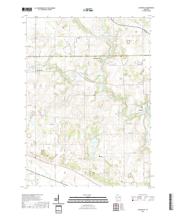
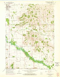
Cooksville and the surrounding farmland of Rock and Dane counties are defined by the winding course of the Yahara River and Badfish Creek. This agricultural landscape is dotted with early community hubs, including the settlement of Stebbinsville and the village of Fulton in the southeast corner. Genealogists can find numerous historic burial grounds across the township lines, such as Saint Michaels Cem, Ball Tavern Cem, and South Porter Cem. The topography reveals a complex network of glacial water bodies, from the prominent Gibbs Lake and Little Gibbs Lake to the smaller Muskrat Lake and Grass Lake. Small-scale aviation is represented by the Blackburn Airport located north of the county line, while the overall road grid follows the established section lines typical of Wisconsin's dairy country.
Find a feature on this map
46 named features on this map. Tap any name to fly to it.
Don’t see what you’re looking for? This feature index may not catch every label — zoom into the map to look around manually.
Map Details
Editions of this 2022 Cooksville Map
This is the sole edition of this map. No revisions or reprints were ever made.
Historical Maps of Stebbinsville Through Time
14 maps found
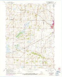
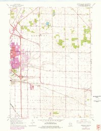
1960 Lima Center
Rock County, WI
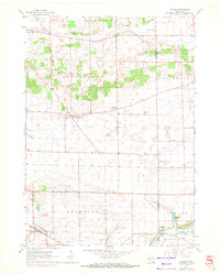
1961 Avalon
Rock County, WI
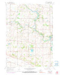
1961 Cooksville
Rock County, WI
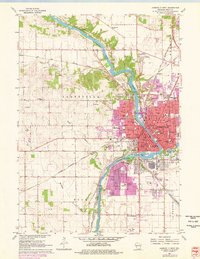
1961 Janesville East
Rock County, WI
1961 Janesville West
Rock County, WI
1962 Brodhead East
Rock County, WI
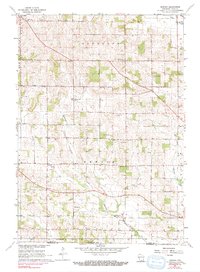
1962 Newark
Rock County, WI
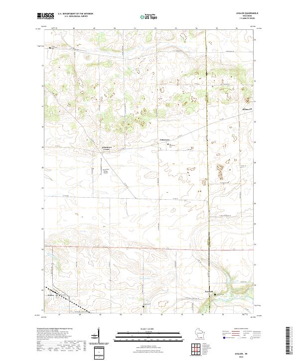
2022 Avalon
Rock County, WI
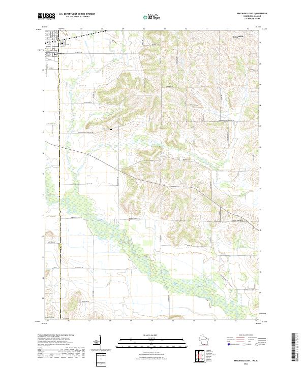
2022 Brodhead East
Rock County, WI
2022 Cooksville
Rock County, WI
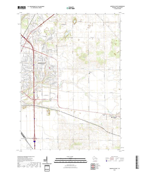
2022 Janesville East
Rock County, WI
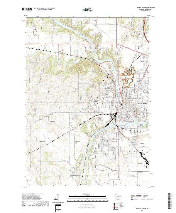
2022 Janesville West
Rock County, WI
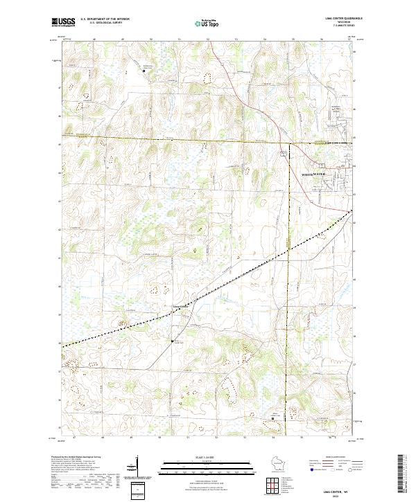
2022 Lima Center
Rock County, WI
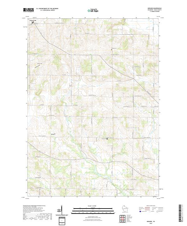
2022 Newark
Rock County, WI