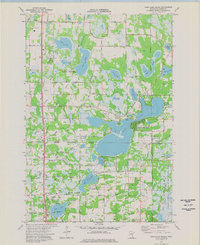
1974 Map of Coon Lake Beach
USGS Topo · Published 1976About this map
Coon Lake and its surrounding wetlands anchor this mid-1970s survey of the Anoka County landscape. The area is defined by a dense network of drainage ditches, such as County Ditch No 13 and County Ditch No 28, which illustrate the complex water management required for development in this low-lying region. Smaller settlements and neighborhoods like Coon Lake Beach, Soderville, and West Bethel are interspersed with numerous smaller basins including Deer Lake, Neds Lake, and Lake Netta.
Find a feature on this map
85 named features on this map. Tap any name to fly to it.
Don’t see what you’re looking for? This feature index may not catch every label — zoom into the map to look around manually.
Map Details
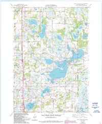
Editions of this 1974 Coon Lake Beach Map
2 editions found
Other maps of this area

1902 · White Bear
USGS Topo · 1:62,500

1902 · Anoka
USGS Topo · 1:62,500

1916 · St. Francis
USGS Topo · 1:62,500

1919 · St. Francis
USGS Topo · 1:62,500

1952 · Centerville
USGS Topo · 1:24,000

1953 · Stillwater
USGS Topo · 1:250,000

1955 · Circle Pines
USGS Topo · 1:24,000

1955 · Coon Rapids
USGS Topo · 1:24,000

1955 · Isanti
USGS Topo · 1:62,500

1955 · Anoka
USGS Topo · 1:62,500