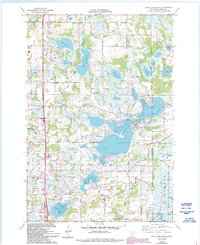
1974 Map of Coon Lake Beach
USGS Topo · Published 1993About this map
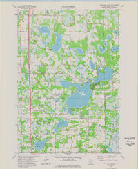
Coon Lake and its surrounding wetlands anchor this study of Anoka County, where the transition from rural land to suburban residential patterns is evident in the late 20th century. The settlement of Coon Lake Beach sits at the water's edge, while the larger municipalities of East Bethel and Ham Lake are defined by an expanding network of roads such as Viking Boulevard and Crosstown Boulevard. The map reveals a high density of small lakes and marshes, including Neds Lake, Deer Lake, and Lake Netta, which separate clusters of development like Soderville from protected conservation lands.
Find a feature on this map
54 named features on this map. Tap any name to fly to it.
Don’t see what you’re looking for? This feature index may not catch every label — zoom into the map to look around manually.
Map Details
Editions of this 1974 Coon Lake Beach Map
2 editions found
Other maps of this area

1902 · White Bear
USGS Topo · 1:62,500

1902 · Anoka
USGS Topo · 1:62,500

1916 · St. Francis
USGS Topo · 1:62,500

1919 · St. Francis
USGS Topo · 1:62,500

1952 · Centerville
USGS Topo · 1:24,000

1953 · Stillwater
USGS Topo · 1:250,000

1955 · Circle Pines
USGS Topo · 1:24,000

1955 · Coon Rapids
USGS Topo · 1:24,000

1955 · Isanti
USGS Topo · 1:62,500

1955 · Anoka
USGS Topo · 1:62,500