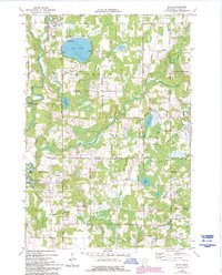
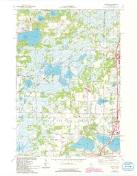
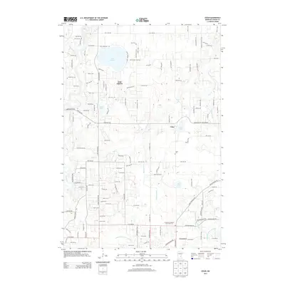
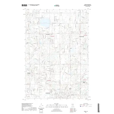
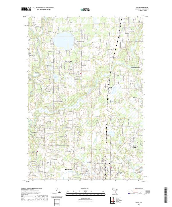
1974 Map of Cedar
USGS Topo · Published 1993About this map
The Rum River winds through the western edge of this northern Anoka County landscape, marking a transition from riparian bottomlands to a terrain dotted with numerous lakes and wetlands. The settlement pattern of the mid-1970s is centered around established hubs like Cedar and Constance, while Ham Lake and East Bethel show the expanding corporate boundaries of the era. The Burlington Northern railroad corridor provides a distinct north-south transit spine, paralleling the wetland systems of Swan Lake and Ward Lake. Local history is anchored by several long-standing landmarks, including St Patricks Ch and quiet burial grounds such as Pierce Cem and West Oak Grove Cem. Public recreation is prominently featured at Lake George County Park, which centers on the map's most significant water body, Lake George.
Find a feature on this map
38 named features on this map. Tap any name to fly to it.
Don’t see what you’re looking for? This feature index may not catch every label — zoom into the map to look around manually.
Map Details
Editions of this 1974 Cedar Map
2 editions found
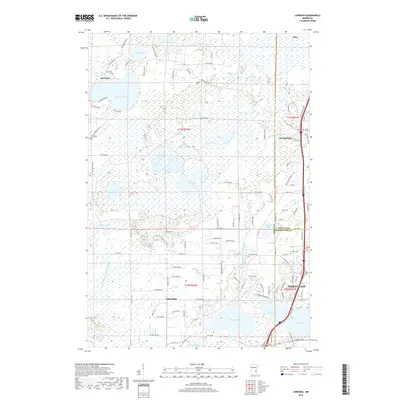
Historical Maps of Andover Through Time
19 maps found
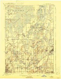
1902 White Bear
Anoka County, MN
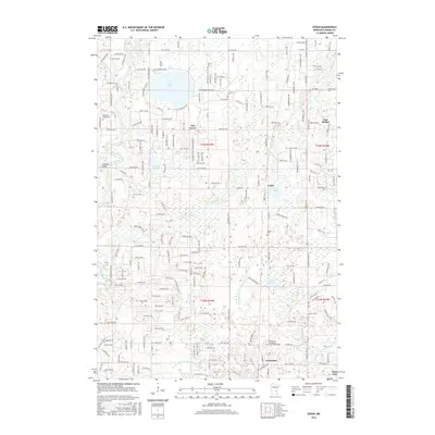
1974 Cedar
Anoka County, MN
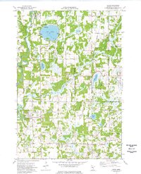
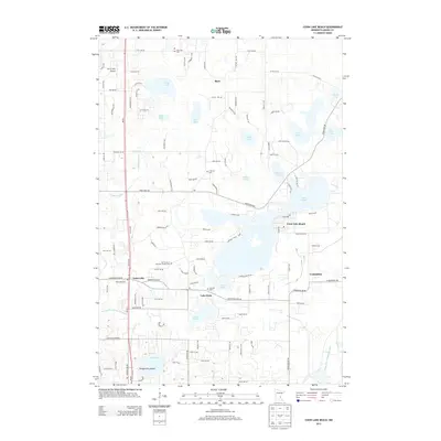
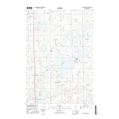
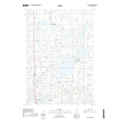
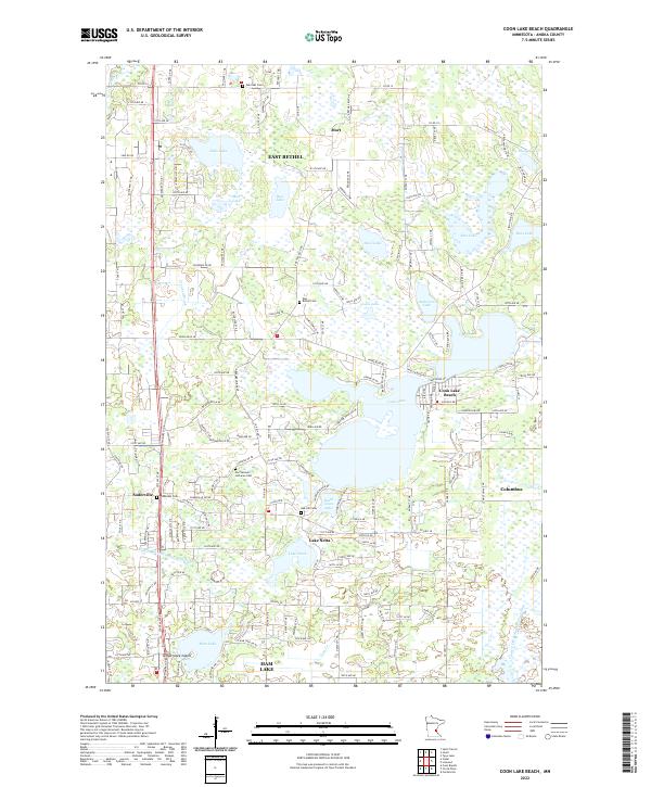
1974 Coon Lake Beach
Anoka County, MN
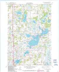
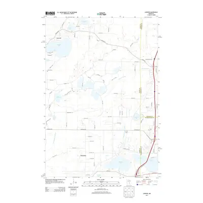
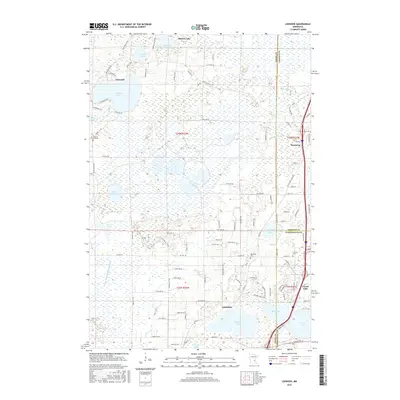
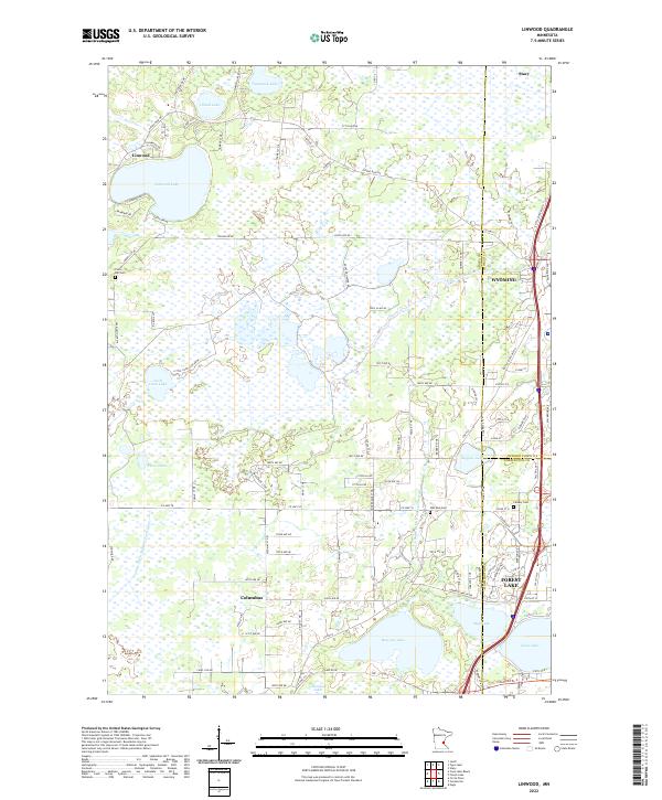
1974 Linwood
Anoka County, MN
2010 Cedar
Anoka County, MN
2010 Coon Lake Beach
Anoka County, MN
2010 Linwood
Anoka County, MN
2013 Cedar
Anoka County, MN
2013 Coon Lake Beach
Anoka County, MN
2013 Linwood
Anoka County, MN
2016 Cedar
Anoka County, MN
2016 Coon Lake Beach
Anoka County, MN
2016 Linwood
Anoka County, MN
2019 Cedar
Anoka County, MN
2019 Coon Lake Beach
Anoka County, MN
2019 Linwood
Anoka County, MN
2022 Cedar
Anoka County, MN
2022 Coon Lake Beach
Anoka County, MN
2022 Linwood
Anoka County, MN