Loading...
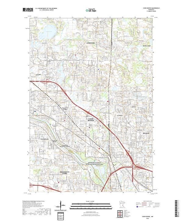
Loading map...2022 Map of Coon Rapids
USGS Topo · Published 2022About this map
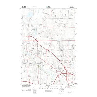
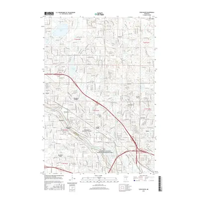
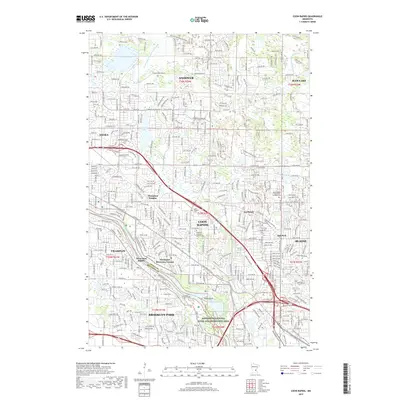
The Mississippi River defines the southwestern edge of this suburban landscape, bordering the Mississippi National River and Recreation Area. As the river moves past Dunn Island, the map reveals a densely developed network of residential communities including Thompson Heights, Northdale, and West Coon Rapids. The area is a hub of transit and education, anchored by the Anoka Ramsey Community College and the heavy industrial presence of the BNSF Railway.
Find a feature on this map
54 named features on this map. Tap any name to fly to it.
Don’t see what you’re looking for? This feature index may not catch every label — zoom into the map to look around manually.
Map Details
Date Portrayed2022
Date Published2022
PublisherU.S. Geological Survey
Map TypeTopographic
Scale1:24,000
Physical Dimensions24 x 29 inches
Editions of this 2022 Coon Rapids Map
This is the sole edition of this map. No revisions or reprints were ever made.
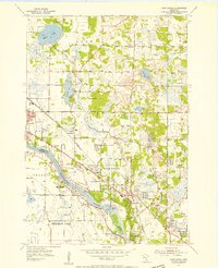
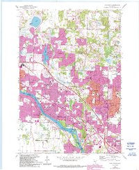
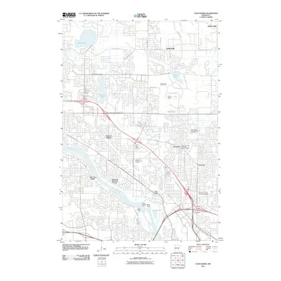
Historical Maps of Brooklyn Park Through Time
7 maps found
Featured Locations
Source Details
SourceU.S. Geological Survey
CopyrightPublic Domain