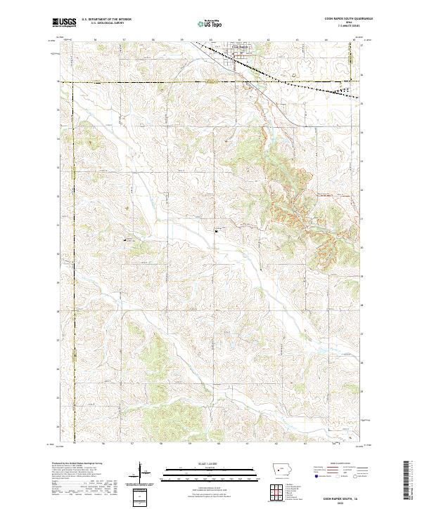
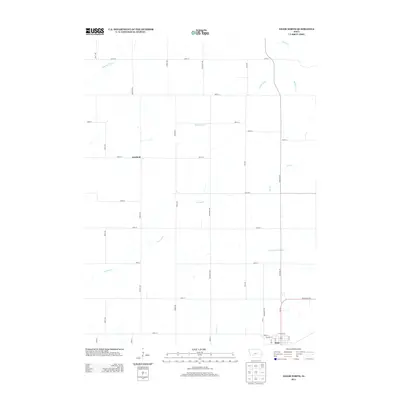
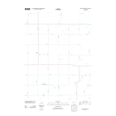
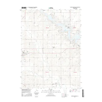
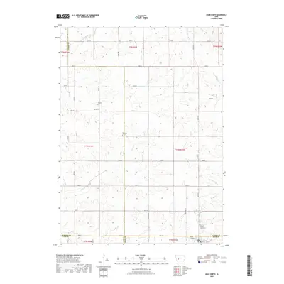
2022 Map of Coon Rapids South
USGS Topo · Published 2022About this map
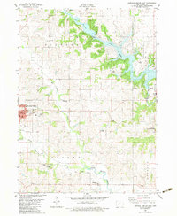
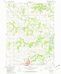
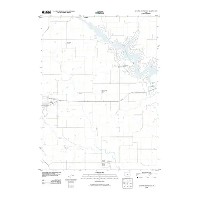
Coon Rapids serves as the primary hub in this corner of rural Iowa, situated at the confluence of several townships where Carroll, Guthrie, and Greene counties meet. The landscape is defined by the winding paths of the Middle Raccoon River and the S Raccoon River, which have carved out the varied terrain that breaks from the surrounding agricultural grid. These river corridors host an extensive modern trail network, including the Town Loop Trl, Steve Garst Trl, and Long Creek Trl, suggesting a focus on conservation and outdoor recreation along the water's edge.
Find a feature on this map
76 named features on this map. Tap any name to fly to it.
Don’t see what you’re looking for? This feature index may not catch every label — zoom into the map to look around manually.
Map Details
Editions of this 2022 Coon Rapids South Map
This is the sole edition of this map. No revisions or reprints were ever made.
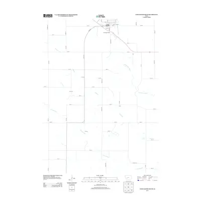
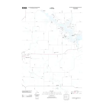
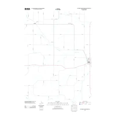
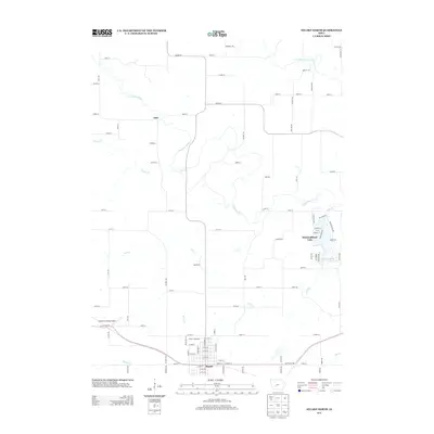
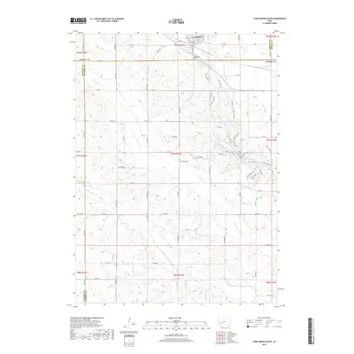
Historical Maps of Coon Rapids Through Time
36 maps found
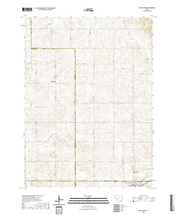
1971 Adair North
Guthrie County, IA

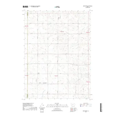
1971 Coon Rapids South
Guthrie County, IA
1971 Guthrie Center West
Guthrie County, IA
1971 North Branch
Guthrie County, IA
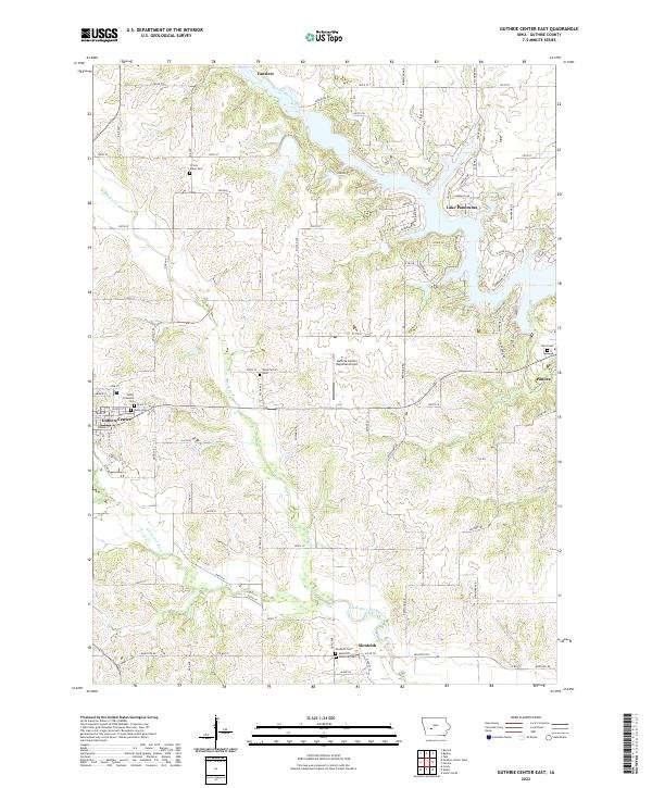
1982 Guthrie Center East
Guthrie County, IA
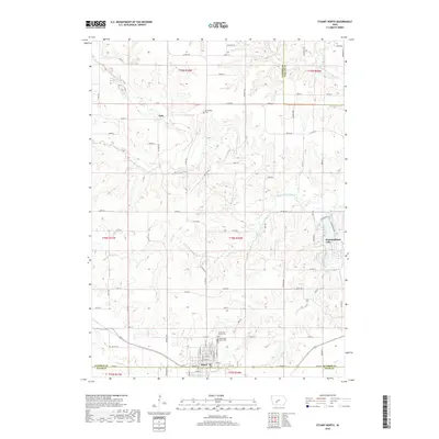
1982 Stuart North
Guthrie County, IA
2010 Adair North
Guthrie County, IA
2010 Coon Rapids South
Guthrie County, IA
2010 Guthrie Center East
Guthrie County, IA
2010 Guthrie Center West
Guthrie County, IA
2010 North Branch
Guthrie County, IA
2010 Stuart North
Guthrie County, IA
2013 Adair North
Guthrie County, IA
2013 Coon Rapids South
Guthrie County, IA
2013 Guthrie Center East
Guthrie County, IA
2013 Guthrie Center West
Guthrie County, IA
2013 North Branch
Guthrie County, IA
2013 Stuart North
Guthrie County, IA
2015 Adair North
Guthrie County, IA
2015 Coon Rapids South
Guthrie County, IA
2015 Guthrie Center East
Guthrie County, IA
2015 Guthrie Center West
Guthrie County, IA
2015 North Branch
Guthrie County, IA
2015 Stuart North
Guthrie County, IA
2018 Adair North
Guthrie County, IA
2018 Coon Rapids South
Guthrie County, IA
2018 Guthrie Center East
Guthrie County, IA
2018 Guthrie Center West
Guthrie County, IA
2018 North Branch
Guthrie County, IA
2018 Stuart North
Guthrie County, IA
2022 Adair North
Guthrie County, IA
2022 Coon Rapids South
Guthrie County, IA
2022 Guthrie Center East
Guthrie County, IA
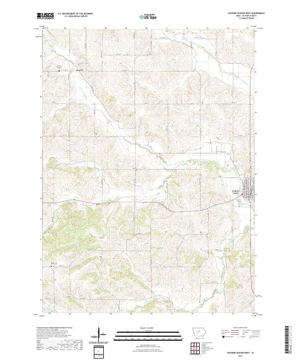
2022 Guthrie Center West
Guthrie County, IA
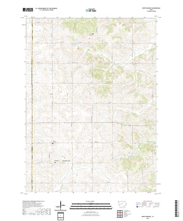
2022 North Branch
Guthrie County, IA
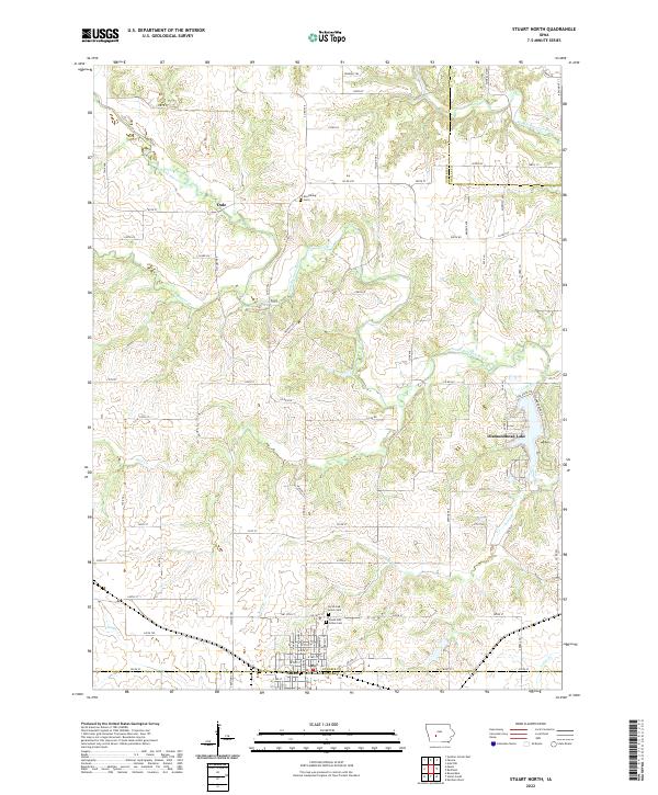
2022 Stuart North
Guthrie County, IA