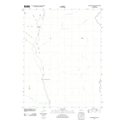
2010 Map of Cooper Mountain
USGS Topo · Published 2010About this map
The Garden Park Dinosaur Monument serves as a central landmark in this portion of Fremont County, highlighting a landscape defined by significant paleontological and geological value. Situated along Garden Park Rd, the area features a blend of academic and industrial activity, anchored by the University of Kansas Geology Summer Camp and numerous mineral claims. The mining history of the region is well-documented through labels for the Colexco Mine, Deer Hill Mine, and Diamond Flint Mine, alongside prospecting sites like the Hoppy Claim and Chicken Claim.
Find a feature on this map
27 named features on this map. Tap any name to fly to it.
Don’t see what you’re looking for? This feature index may not catch every label — zoom into the map to look around manually.
Map Details
Editions of this 2010 Cooper Mountain Map
This is the sole edition of this map. No revisions or reprints were ever made.
Other maps of this area

1889 · Canon City
USGS Topo · 1:125,000

1892 · Canon City
USGS Topo · 1:125,000

1894 · Pikes Peak
USGS Topo · 1:125,000

1901 · Pikes Peak
USGS Topo · 1:125,000

1942 · Cover Mtn.
USGS Topo · 1:62,500

1948 · Cover Mtn.
USGS Topo · 1:62,500

1951 · Cripple Creek South
USGS Topo · 1:24,000

1951 · Big Bull Mountain
USGS Topo · 1:24,000

1954 · Phantom Canyon
USGS Topo · 1:24,000

1954 · Cooper Mountain
USGS Topo · 1:24,000