
1954 Map of Phantom Canyon
USGS Topo · Published 1955About this map
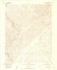
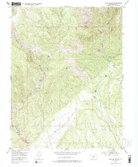
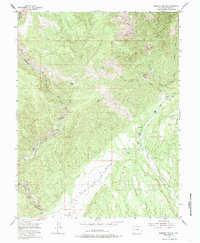
Phantom Canyon and the surrounding Fremont County highlands are defined by a complex network of steep drainages and isolated mountain peaks as they appeared in the mid-1950s. The settlement pattern is sparse, reflecting the challenging topography where human presence is marked by scattered outposts such as Adelaide and Holbert Cabin. The importance of water and passage is evident in the convergence of Eightmile Creek and the various forks of Beaver Creek, which carve deep paths through the terrain.
Find a feature on this map
20 named features on this map. Tap any name to fly to it.
Don’t see what you’re looking for? This feature index may not catch every label — zoom into the map to look around manually.
Map Details
Editions of this 1954 Phantom Canyon Map
4 editions found
Other maps of this area

1889 · Canon City
USGS Topo · 1:125,000

1891 · Pueblo
USGS Topo · 1:125,000

1892 · Canon City
USGS Topo · 1:125,000

1893 · Colorado Springs
USGS Topo · 1:125,000

1894 · Pikes Peak
USGS Topo · 1:125,000

1894 · Pueblo
USGS Topo · 1:125,000

1896 · Pueblo
USGS Topo · 1:125,000

1897 · Pueblo
USGS Topo · 1:125,000

1901 · Pikes Peak
USGS Topo · 1:125,000

1909 · Colorado Springs
USGS Topo · 1:125,000