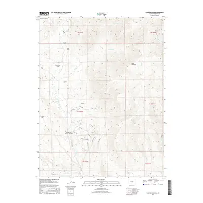
2016 Map of Cooper Mountain
USGS Topo · Published 2016About this map
Garden Park Dinosaur Monument anchors this 2016 study of the Fremont County landscape, a region defined by its remarkable geological exposure and paleontological history. The map highlights a complex network of canyons and gulches, including Fire Canyon and Phantom Canyon, where the drainage of Eightmile Cr and Fourmile Cr has carved through the high desert. Geologists can trace specific structural features such as an Anticline, Tectonic Shift, and a prominent Unconformity noted near Island in the Sky.
Find a feature on this map
39 named features on this map. Tap any name to fly to it.
Don’t see what you’re looking for? This feature index may not catch every label — zoom into the map to look around manually.
Map Details
Editions of this 2016 Cooper Mountain Map
This is the sole edition of this map. No revisions or reprints were ever made.
Other maps of this area

1889 · Canon City
USGS Topo · 1:125,000

1892 · Canon City
USGS Topo · 1:125,000

1894 · Pikes Peak
USGS Topo · 1:125,000

1901 · Pikes Peak
USGS Topo · 1:125,000

1942 · Cover Mtn.
USGS Topo · 1:62,500

1948 · Cover Mtn.
USGS Topo · 1:62,500

1951 · Cripple Creek South
USGS Topo · 1:24,000

1951 · Big Bull Mountain
USGS Topo · 1:24,000

1954 · Phantom Canyon
USGS Topo · 1:24,000

1954 · Cooper Mountain
USGS Topo · 1:24,000