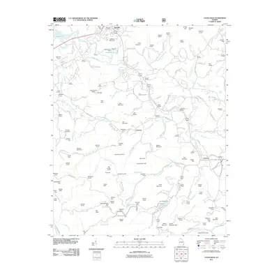
2011 Map of Coosa Bald
USGS Topo · Published 2011About this map
Blairsville stands as the primary hub in this portion of northern Georgia, where the Nottely River and Butternut Creek converge near the Blairsville Airport. The landscape is defined by the high ridges of the Blue Ridge, including prominent peaks like Coosa Bald and Town Mountain. For genealogists and local historians, the map is a dense record of family and community heritage, featuring over a dozen named burial sites such as Butt Cemetery, Mathis Cemetery, and the Choestoe Cemetery near the settlement of Choestoe.
Find a feature on this map
167 named features on this map. Tap any name to fly to it.
Don’t see what you’re looking for? This feature index may not catch every label — zoom into the map to look around manually.
Map Details
Editions of this 2011 Coosa Bald Map
This is the sole edition of this map. No revisions or reprints were ever made.
Other maps of this area

1886 · Dahlonega
USGS Topo · 1:125,000

1888 · Ellijay
USGS Topo · 1:125,000

1892 · Dahlonega
USGS Topo · 1:125,000

1892 · Ellijay
USGS Topo · 1:125,000

1896 · Dahlonega
USGS Topo · 1:125,000

1898 · Ellijay
USGS Topo · 1:125,000

1903 · Dahlonega
USGS Topo · 1:125,000

1911 · Ellijay
USGS Topo · 1:125,000

1935 · Coosa Bald
USGS Topo · 1:24,000

1935 · Ivylog
USGS Topo · 1:24,000