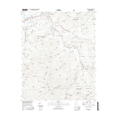
2014 Map of Coosa Bald
USGS Topo · Published 2014About this map
Blairsville sits at the northern edge of this mountain landscape, serving as a hub where the Blue Ridge Hwy and Gainesville Hwy converge. The terrain is defined by the high ridges and deep gaps of the Chattahoochee National Forest, featuring landmarks like Wellborn Mtn, Town Mtn, and the distinctive Coosa Bald. Waterways such as the Nottely River and Arkaqua Cr carve through the valleys, while Lake Trahlyta provides a centered point of interest in the southern highlands.
Find a feature on this map
127 named features on this map. Tap any name to fly to it.
Don’t see what you’re looking for? This feature index may not catch every label — zoom into the map to look around manually.
Map Details
Editions of this 2014 Coosa Bald Map
This is the sole edition of this map. No revisions or reprints were ever made.
Other maps of this area

1886 · Dahlonega
USGS Topo · 1:125,000

1888 · Ellijay
USGS Topo · 1:125,000

1892 · Dahlonega
USGS Topo · 1:125,000

1892 · Ellijay
USGS Topo · 1:125,000

1896 · Dahlonega
USGS Topo · 1:125,000

1898 · Ellijay
USGS Topo · 1:125,000

1903 · Dahlonega
USGS Topo · 1:125,000

1911 · Ellijay
USGS Topo · 1:125,000

1935 · Coosa Bald
USGS Topo · 1:24,000

1935 · Ivylog
USGS Topo · 1:24,000