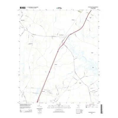
2014 Map of Coosawhatchie
USGS Topo · Published 2014About this map
Coosawhatchie River and Tulifiny River define this Lowcountry landscape in Jasper County, where the transition from inland high ground to coastal wetlands is marked by a series of distinct peninsulas or "necks." The settlement of Coosawhatchie sits near the confluence of local tributaries, serving as a focal point for a network of roads like Morgandollar Rd and Grays Hwy. The area is characterized by these land fingers extending into the river systems, including Grahams Neck, Gregorie Neck, and Huguenins Neck, which often indicate historical plantation sites or early agricultural holdings.
Find a feature on this map
67 named features on this map. Tap any name to fly to it.
Don’t see what you’re looking for? This feature index may not catch every label — zoom into the map to look around manually.
Map Details
Editions of this 2014 Coosawhatchie Map
This is the sole edition of this map. No revisions or reprints were ever made.
Other maps of this area

1918 · Yemassee
USGS Topo · 1:62,500

1919 · Pineland
USGS Topo · 1:62,500

1920 · Hardeeville
USGS Topo · 1:62,500

1920 · Okatie
USGS Topo · 1:62,500

1942 · Okatie
USGS Topo · 1:62,500

1943 · Pineland
USGS Topo · 1:62,500

1943 · Hardeeville
USGS Topo · 1:62,500

1943 · Yemassee
USGS Topo · 1:62,500

1947 · Savannah
USGS Topo · 1:250,000

1948 · Savannah
USGS Topo · 1:250,000