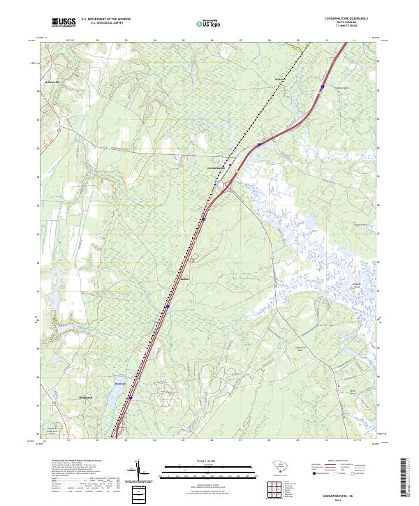
2024 Map of Coosawhatchie
USGS Topo · Published 2024About this map
Coosawhatchie sits at the center of this Jasper County landscape, where the Coosawhatchie River and Tullifiny River converge amidst a network of low-lying wetlands. The map illustrates the contemporary intersection of modern infrastructure and deep-rooted local history, showing the path of the Coosaw Scenic Dr alongside established communities like Gillisonville and Bashan. To the south, the expansion of Ridgeland is evident near the Ridgeland- Claude Dean Airport, while rural heritage is preserved in names such as Moultrie Plantation and Roseland Plantation Dr. The geography is defined by coastal features like Huguenins Neck and Gregorie Neck, which reach into the marshes of Bees Creek. These traditional land divisions and small settlements like Ricetown and Gilmania provide a clear view of how transportation corridors have shaped the development of the South Carolina Lowcountry.
Find a feature on this map
50 named features on this map. Tap any name to fly to it.
Don’t see what you’re looking for? This feature index may not catch every label — zoom into the map to look around manually.
Map Details
Editions of this 2024 Coosawhatchie Map
This is the sole edition of this map. No revisions or reprints were ever made.
Other maps of this area

1918 · Yemassee
USGS Topo · 1:62,500

1919 · Pineland
USGS Topo · 1:62,500

1920 · Hardeeville
USGS Topo · 1:62,500

1920 · Okatie
USGS Topo · 1:62,500

1942 · Okatie
USGS Topo · 1:62,500

1943 · Pineland
USGS Topo · 1:62,500

1943 · Hardeeville
USGS Topo · 1:62,500

1943 · Yemassee
USGS Topo · 1:62,500

1947 · Savannah
USGS Topo · 1:250,000

1948 · Savannah
USGS Topo · 1:250,000