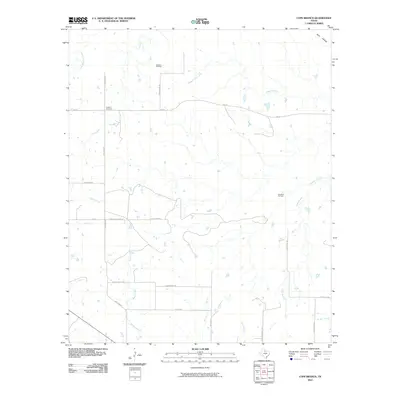
2010 Map of Cope Branch
USGS Topo · Published 2010About this map
England Cemetery stands as a focal point for family history in this corner of North Texas, situated just off England Rd in a landscape defined by ranching and petroleum extraction. The 2010 terrain is marked by the Seymour Oil Field and Rendham Oil Field, reflecting the region's long-standing reliance on the energy industry. A dense network of local ranch roads, such as Thena Farr Ranch Rd and Seven Bar Ranch Rd, provides access to the interior acreage between the area's numerous waterways. Coal Creek and Little Mountain Creek meander through the northern reaches, while the namesake Cope Branch and Muhle Creek drain the southern sections. This survey documents the persistent rural infrastructure of the area, from the small bridges over Daggett Creek to the named drainage of Wolf Hollow.
Find a feature on this map
28 named features on this map. Tap any name to fly to it.
Don’t see what you’re looking for? This feature index may not catch every label — zoom into the map to look around manually.
Map Details
Editions of this 2010 Cope Branch Map
This is the sole edition of this map. No revisions or reprints were ever made.
Other maps of this area

1932 · Dundee
USGS Topo · 1:62,500

1954 · Wichita Falls
USGS Topo · 1:250,000

1958 · Wichita Falls
USGS Topo · 1:250,000

1963 · Dundee
USGS Topo · 1:24,000

1963 · Dundee SW
USGS Topo · 1:24,000

1963 · Megargel
USGS Topo · 1:24,000

1966 · Rock Canyon
USGS Topo · 1:24,000

1966 · Fulda
USGS Topo · 1:24,000

1966 · Southeast Lake Kemp
USGS Topo · 1:24,000

1966 · Seymour East
USGS Topo · 1:24,000