
1966 Map of Seymour East
USGS Topo · Published 1969About this map
The Brazos River winds along the western edge of this Baylor County landscape, providing a sharp contrast to the high ground of Little Mountain in the east. This mid-1960s survey documents the regional transportation network, anchored by the Fort Worth and Denver line and an abandoned Old Railroad Grade north of town. The city of Seymour serves as the primary hub, where local history is etched into the landscape at Riverside Cem and Woodman Cem. Outside the main settlement, the smaller communities of Lively and Ogden mark the rural expanses. The terrain is defined by a dense network of seasonal drainages, including Seymour Creek, Deep Creek, and Turkey Creek, which cut through the rolling ranch land and frequent Gravel Pit excavations characteristic of the area's geology.
Find a feature on this map
24 named features on this map. Tap any name to fly to it.
Don’t see what you’re looking for? This feature index may not catch every label — zoom into the map to look around manually.
Map Details
Editions of this 1966 Seymour East Map
This is the sole edition of this map. No revisions or reprints were ever made.
Other maps of this area

1954 · Wichita Falls
USGS Topo · 1:250,000

1958 · Wichita Falls
USGS Topo · 1:250,000

1962 · Antelope Creek NE
USGS Topo · 1:24,000

1966 · Seymour West
USGS Topo · 1:24,000

1966 · Rock Canyon
USGS Topo · 1:24,000

1966 · Fulda
USGS Topo · 1:24,000

1966 · Southeast Lake Kemp
USGS Topo · 1:24,000

1966 · Southwest Lake Kemp
USGS Topo · 1:24,000
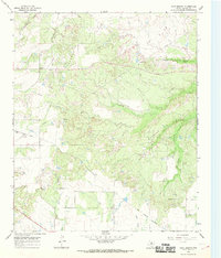
1966 · Cope Branch
USGS Topo · 1:24,000
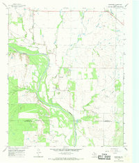
1966 · Westover
USGS Topo · 1:24,000