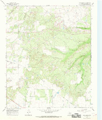
1966 Map of Cope Branch
USGS Topo · Published 1969About this map
Petroleum extraction and cattle ranching shape this landscape in Baylor County, dominated by the sprawling Seymour Oil Field and Rendham Oil Field. Numerous Oil Wells and a Pumping Sta are scattered across the terrain, connected by a network of unimproved roads and fence lines that segment the drainage basins of Daggett Creek and Cope Branch. The presence of the England Cem near the upper reaches of Coal Creek provides a localized point of interest for genealogists tracing early families in the area.
Find a feature on this map
18 named features on this map. Tap any name to fly to it.
Don’t see what you’re looking for? This feature index may not catch every label — zoom into the map to look around manually.
Map Details
Editions of this 1966 Cope Branch Map
This is the sole edition of this map. No revisions or reprints were ever made.
Other maps of this area

1932 · Dundee
USGS Topo · 1:62,500

1954 · Wichita Falls
USGS Topo · 1:250,000

1958 · Wichita Falls
USGS Topo · 1:250,000

1963 · Dundee
USGS Topo · 1:24,000

1963 · Dundee SW
USGS Topo · 1:24,000

1963 · Megargel
USGS Topo · 1:24,000

1966 · Rock Canyon
USGS Topo · 1:24,000

1966 · Fulda
USGS Topo · 1:24,000

1966 · Southeast Lake Kemp
USGS Topo · 1:24,000

1966 · Seymour East
USGS Topo · 1:24,000