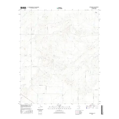
2016 Map of Cope Branch
USGS Topo · Published 2016About this map
England Cem stands as a focal point for family history in this cattle-ranching landscape on the edge of the Texas Rolling Plains. The area is defined by a dense network of seasonal drainages, including Little Mountain Cr, Coal Cr, and Daggett Cr, which cut through the limestone-inflected terrain toward larger watersheds. The local road system, often named for the ranching families who established these holdings, includes England Rd, Thena Farr Ranch Rd, and Seven Bar Ranch Rd, reflecting the large-acreage land use that has characterized this portion of Baylor County for generations. Topographic features like Wolf Hollow provide a localized sense of the breaks and ridges that distinguish the drainage basins of Godwin Cr and the namesake Cope Branch.
Find a feature on this map
26 named features on this map. Tap any name to fly to it.
Don’t see what you’re looking for? This feature index may not catch every label — zoom into the map to look around manually.
Map Details
Editions of this 2016 Cope Branch Map
This is the sole edition of this map. No revisions or reprints were ever made.
Other maps of this area

1932 · Dundee
USGS Topo · 1:62,500

1954 · Wichita Falls
USGS Topo · 1:250,000

1958 · Wichita Falls
USGS Topo · 1:250,000

1963 · Dundee
USGS Topo · 1:24,000

1963 · Dundee SW
USGS Topo · 1:24,000

1963 · Megargel
USGS Topo · 1:24,000

1966 · Rock Canyon
USGS Topo · 1:24,000

1966 · Fulda
USGS Topo · 1:24,000

1966 · Southeast Lake Kemp
USGS Topo · 1:24,000

1966 · Seymour East
USGS Topo · 1:24,000