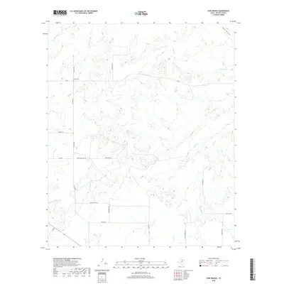
2019 Map of Cope Branch
USGS Topo · Published 2019About this map
England Cem stands as a quiet landmark in the northern reaches of this Baylor County landscape, situated near Coal Cr and England Rd. The area is defined by a dense network of intermittent watercourses that drain toward the Brazos River basin, including Daggett Cr and the winding Godwin Cr. The road system reflects a ranching and rural residential economy, with routes like Thena Farr Ranch Rd and Seven Bar Ranch Rd providing access across the undulating terrain.
Find a feature on this map
27 named features on this map. Tap any name to fly to it.
Don’t see what you’re looking for? This feature index may not catch every label — zoom into the map to look around manually.
Map Details
Editions of this 2019 Cope Branch Map
This is the sole edition of this map. No revisions or reprints were ever made.
Other maps of this area

1932 · Dundee
USGS Topo · 1:62,500

1954 · Wichita Falls
USGS Topo · 1:250,000

1958 · Wichita Falls
USGS Topo · 1:250,000

1963 · Dundee
USGS Topo · 1:24,000

1963 · Dundee SW
USGS Topo · 1:24,000

1963 · Megargel
USGS Topo · 1:24,000

1966 · Rock Canyon
USGS Topo · 1:24,000

1966 · Fulda
USGS Topo · 1:24,000

1966 · Southeast Lake Kemp
USGS Topo · 1:24,000

1966 · Seymour East
USGS Topo · 1:24,000