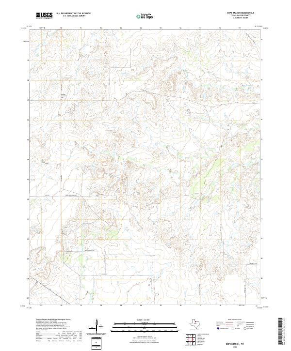
2022 Map of Cope Branch
USGS Topo · Published 2022About this map
England Community Cem serves as a primary genealogical landmark in this section of Baylor County, situated along England Rd just north of FM 422. The landscape is defined by a dense network of intermittent drainage branches and creeks, including Coal Creek and Daggett Creek, which carve through the terrain and suggest a history of seasonal water management for local ranching. This 2022 survey illustrates a sparse settlement pattern characterized by long ranch roads and family-named routes such as Thena Farr Rd and Quisenberry Rd. The intersection of multiple water bodies like Godwin Creek and Cope Branch in the eastern portion of the quadrangle highlights the complex hydrology that influenced the placement of rural homesteads and access roads. The transition into Archer County is marked by Archer Co Rd, indicating the connectivity between these rural Texas districts.
Find a feature on this map
27 named features on this map. Tap any name to fly to it.
Don’t see what you’re looking for? This feature index may not catch every label — zoom into the map to look around manually.
Map Details
Editions of this 2022 Cope Branch Map
This is the sole edition of this map. No revisions or reprints were ever made.
Other maps of this area

1932 · Dundee
USGS Topo · 1:62,500

1954 · Wichita Falls
USGS Topo · 1:250,000

1958 · Wichita Falls
USGS Topo · 1:250,000

1963 · Dundee
USGS Topo · 1:24,000

1963 · Dundee SW
USGS Topo · 1:24,000

1963 · Megargel
USGS Topo · 1:24,000

1966 · Rock Canyon
USGS Topo · 1:24,000

1966 · Fulda
USGS Topo · 1:24,000

1966 · Southeast Lake Kemp
USGS Topo · 1:24,000

1966 · Seymour East
USGS Topo · 1:24,000