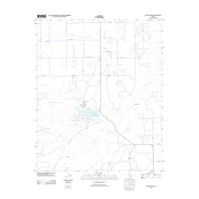
2013 Map of Cope Creek
USGS Topo · Published 2013About this map
Mackenzie Reservoir dominates the central landscape of this Briscoe County territory, where the waters are fed by the winding course of Tule Cr and Cope Cr. The terrain is defined by dramatic geological features such as The Narrows and the passage of Rock Cr to the south. This area reflects a long-standing ranching economy, with several large holdings specifically identified, including Flowers Ranch, Martin Ranch, and Mayfield Ranch.
Find a feature on this map
28 named features on this map. Tap any name to fly to it.
Don’t see what you’re looking for? This feature index may not catch every label — zoom into the map to look around manually.
Map Details
Editions of this 2013 Cope Creek Map
This is the sole edition of this map. No revisions or reprints were ever made.
Other maps of this area

1954 · Plainview
USGS Topo · 1:250,000

1958 · Plainview
USGS Topo · 1:250,000

1965 · Ross Canyon
USGS Topo · 1:24,000

1965 · Big Betty Reservoir
USGS Topo · 1:24,000

1965 · Silverton
USGS Topo · 1:24,000

1965 · Rock Creek
USGS Topo · 1:24,000

1965 · Vigo Park
USGS Topo · 1:24,000

1965 · Cope Creek
USGS Topo · 1:24,000

1969 · Love
USGS Topo · 1:24,000

1969 · Jackson Hill
USGS Topo · 1:24,000