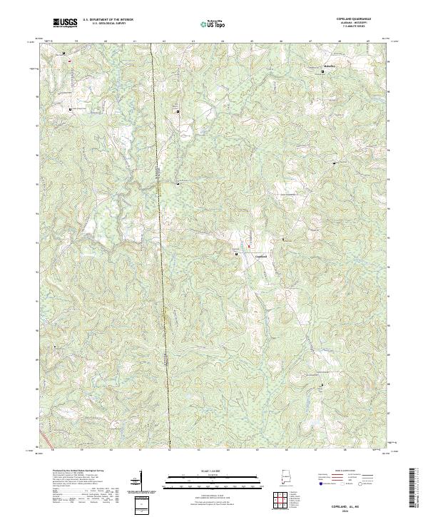
2024 Map of Copeland
USGS Topo · Published 2024About this map
The Escatawpa River winds southward through this rural borderland between Alabama and Mississippi, anchoring a landscape defined by small-scale agriculture and timber tracks. In the center of the sheet, the settlement of Copeland serves as a local hub, situated near the headwaters of several drainage systems including Savannah Branch and Little Red Creek. The area is notably dense with small family and community burial grounds, such as Zion Rest Cem, Antioch Cem, and Minerva Cem, which are scattered among the ridges and pine-lined backroads.
Find a feature on this map
79 named features on this map. Tap any name to fly to it.
Don’t see what you’re looking for? This feature index may not catch every label — zoom into the map to look around manually.
Map Details
Editions of this 2024 Copeland Map
This is the sole edition of this map. No revisions or reprints were ever made.
Other maps of this area

1953 · Hattiesburg
USGS Topo · 1:250,000

1958 · Hattiesburg
USGS Topo · 1:250,000

1964 · Denham
USGS Topo · 1:24,000

1964 · Knobtown
USGS Topo · 1:24,000

1964 · Buckatunna
USGS Topo · 1:24,000

1974 · Millry South
USGS Topo · 1:24,000

1974 · Chatom
USGS Topo · 1:24,000

1974 · State Line
USGS Topo · 1:24,000

1974 · Millry North
USGS Topo · 1:24,000

1974 · Copeland
USGS Topo · 1:24,000