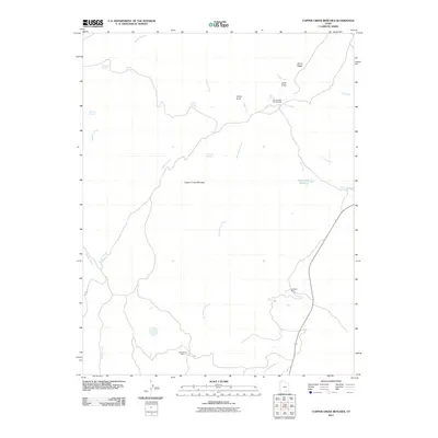
2011 Map of Copper Creek Benches
USGS Topo · Published 2011About this map
Shootaring Mine and Del Mont Mine anchor the southern and eastern stretches of this 2011 survey, reflecting the industrial history of this arid Garfield County landscape. The topography is defined by the Copper Creek Benches, a series of plateaus dissected by an intricate drainage system including Hansen Creek, Shitamaring Creek, and Milk Creek. This network of washes and canyons flows toward the southeast, eventually leading toward the Lost Spring Wash.
Find a feature on this map
22 named features on this map. Tap any name to fly to it.
Don’t see what you’re looking for? This feature index may not catch every label — zoom into the map to look around manually.
Map Details
Editions of this 2011 Copper Creek Benches Map
This is the sole edition of this map. No revisions or reprints were ever made.
Other maps of this area

1886 · Henry Mountains
USGS Topo · 1:250,000

1892 · Henry Mountains
USGS Topo · 1:250,000

1952 · Mt Pennell 1 SW
USGS Topo · 1:24,000

1952 · Mt Pennell 2 NE
USGS Topo · 1:24,000

1952 · Mt Pennell 1 NE
USGS Topo · 1:24,000

1952 · Mt Hillers
USGS Topo · 1:62,500

1952 · Mt Pennell 1 SE
USGS Topo · 1:24,000

1952 · Mt Pennell 1 NW
USGS Topo · 1:24,000

1953 · Mt Pennell
USGS Topo · 1:62,500

1953 · Mt Pennell 2 SE
USGS Topo · 1:24,000