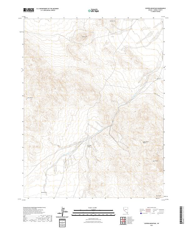
2021 Map of Copper Mountain
USGS Topo · Published 2021About this map
Buckley Flat lies at the southern edge of this high-desert basin, where the expansive terrain is defined by the intersections of several prominent Nevada ranges. The landscape is dominated by the Gillis Range to the west and the Gabbs Valley Range to the east, with Copper Mtn rising as a central landmark. This topography creates natural corridors like Win Wan Valley, which funnels drainage into the extensive Nugent Wash system.
Find a feature on this map
18 named features on this map. Tap any name to fly to it.
Don’t see what you’re looking for? This feature index may not catch every label — zoom into the map to look around manually.
Map Details
Editions of this 2021 Copper Mountain Map
This is the sole edition of this map. No revisions or reprints were ever made.
Other maps of this area

1909 · Hawthorne
USGS Topo · 1:250,000

1911 · Hawthorne
USGS Topo · 1:250,000

1915 · Hawthorne
USGS Topo · 1:250,000

1948 · Walker Lake
USGS Topo · 1:250,000

1955 · Hawthorne
USGS Topo · 1:62,500

1957 · Walker Lake
USGS Topo · 1:250,000

1962 · Walker Lake
USGS Topo · 1:250,000

1964 · Walker Lake
USGS Topo · 1:250,000

1964 · Gillis Canyon
USGS Topo · 1:62,500
1979 · Copper Mtn.
USGS Topo · 1:24,000